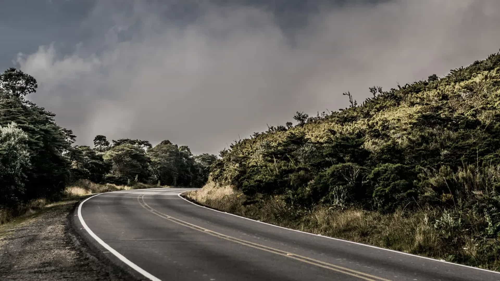
VIAJAR EN MOTO POR Costa Rica
RESPUESTA RÁPIDA
Costa Rica es uno de los cruces más ordenados de Centroamérica para entrar en moto: no forma parte del acuerdo CA-4, así que siempre te sellan el pasaporte aparte, pero el trámite de aduana es rápido si llegas con los papeles listos. La clave es el seguro obligatorio del INS, que se compra en la misma frontera antes de que te den el permiso de importación temporal (TIP) para la moto.
LO QUE NECESITAS SABER
El país al que piensas entrar tiene particularidades que tienes que conocer.
Antes de cruzar la frontera hay cuatro cosas que tienes que tener resueltas: qué tan seguro es el país, qué seguro es obligatorio para tu moto, dónde vas a encontrar combustible y cuándo conviene ir. Ninguna es opcional.
SEGURIDAD: RIESGO BAJO (2/5)
Es seguro Costa Rica para entrar en moto? Sí — el Departamento de Estado de EE. UU. lo mantiene en nivel 2, el mismo nivel que la mayoría de destinos turísticos de la región.
ZONAS A EVITAR
- San José: La Carpio, León XIII, Los Guido y Barrio Cuba: Barrios con venta de drogas y disputas entre bandas documentadas por prensa local — no forman parte de ninguna ruta turística, así que solo importan si el GPS te desvía por ahí.
- Centro de San José, de noche: Calles vacías después de las 10pm y mayor riesgo de asalto — evita rodar o dejar la moto ahí de noche.
- Casco urbano de Limón: El Departamento de Estado de EE. UU. señala actividad de narcotráfico en la ciudad puerto. La ruta turística hacia Puerto Viejo de Talamanca, más al sur, mantiene buen historial de seguridad.
DÓNDE DEJAR LA MOTO
- Parking: En la calle: evita dejarla de noche sin vigilancia. Usa parqueos públicos cerrados, sobre todo en San José — los "guardas" informales de la calle no se responsabilizan si te la roban.
- Alarma: Recomendable: sí, sobre todo en San José y Limón. En zonas de playa y pueblos pequeños del interior es menos crítico.
- Equipaje: Saca lo que puedas cargar (tank bag, mochila) al estacionar. El robo por distracción es el delito más común contra turistas — no dejes nada suelto a la vista.
- Visión: Estaciona donde haya movimiento de gente y buena iluminación, nunca en un callejón oscuro o zona aislada.
CONSEJOS
- ➜No entres al centro de San José de noche si puedes evitarlo.
- ➜No muestres objetos de valor (GPS, cámara, reloj) al detenerte en una gasolinera o semáforo.
- ➜Revisa iOverlander antes de elegir dónde acampar o parquear de noche.
Fuera de esos puntos puntuales, Costa Rica es uno de los países más tranquilos de Centroamérica para moverte en moto — la mayoría de los incidentes con turistas son hurtos de oportunidad, no violencia dirigida.
SEGURO OBLIGATORIO: Seguro obligatorio INS
Obligatorio para cualquier moto con matrícula extranjera. Se compra en la misma frontera, en las oficinas del Instituto Nacional de Seguros (INS), antes de que te emitan el TIP. Cuesta alrededor de 40 dólares y cubre 90 días dentro de territorio costarricense.
COMBUSTIBLE: BUENA COBERTURA
Costa Rica es un país pequeño con una red de estaciones densa — no hay grandes tramos sin combustible como en la Patagonia. El litro de súper ronda entre 1.50 y 1.60 dólares, de los más caros de Centroamérica. En zonas más aisladas, como el interior de la Península de Osa o los ramales de tierra hacia la costa, conviene igual salir con el tanque lleno.
MEJOR ÉPOCA: DIC → ABR
Diciembre a abril es la temporada seca (verano), con las carreteras en mejor estado y menos riesgo de derrumbes en zonas de montaña como el Cerro de la Muerte. Mayo a noviembre es temporada lluviosa — las mañanas suelen estar despejadas y la lluvia llega por la tarde, así que rodar temprano sigue siendo viable fuera de temporada.
ENTRAR A COSTA RICA EN MOTO
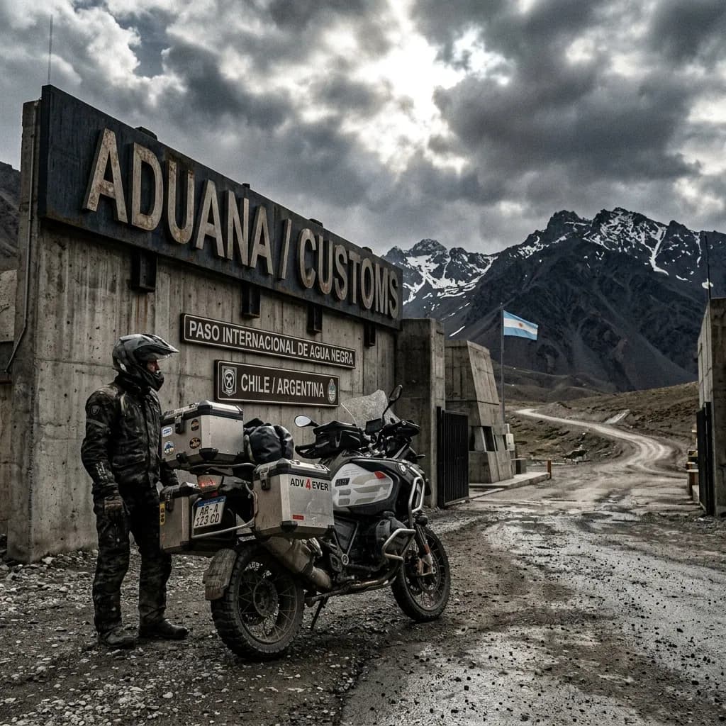
Cruzar a Costa Rica con la moto por Peñas Blancas (desde Nicaragua) o Paso Canoas (desde Panamá) es, según los relatos de motoviajeros en Mad or Nomad y la comunidad de overlanders, uno de los trámites más ordenados de la región — el problema no es el papeleo en sí, sino la hora del día en que llegas.
El trámite tiene dos pasos:
Migraciones: Sella tu pasaporte de entrada — Costa Rica no forma parte del CA-4, así que siempre necesitas el sello aparte.
Aduana: Compra el seguro obligatorio del INS y, en el mismo edificio, tramita el TIP (permiso de importación temporal) para la moto.
El TIP es gratuito — el único costo real del trámite es el seguro obligatorio del INS, que ronda los 40 dólares por 90 días.
Punto de fricción real:no es el trámite en sí, sino el horario. Entre 12 y 2pm el personal de aduana suele estar almorzando, y los fines de semana —sobre todo con buses de turistas de por medio— las filas se alargan mucho más de lo normal.
En Peñas Blancas también te van a pedir prueba de viaje de salida (vuelo de salida de Costa Rica dentro de los 180 días); si solo llevas boleto de bus, algunos oficiales lo rechazan. Conviene llevar el itinerario impreso.
DOCUMENTACIÓN NECESARIA
Pasaporte: Vigente durante toda la estadía.
Carnet de conducir: El de tu país alcanza.
Título de propiedad de la moto: Si no eres el titular, necesitas poder notarial del dueño.
Seguro obligatorio INS: Se compra en la misma frontera, en las oficinas del INS, antes de tramitar el TIP.
Formulario TIP: Permiso de Importación Temporal — se tramita en aduana, en el mismo puesto fronterizo.
Con estos cinco papeles resueltos, entrar a Costa Rica con la moto por un paso principal es un trámite de rutina que no debería tomarte más de un par de horas. La recomendación que más se repite entre motoviajeros: cruza temprano en la mañana entre semana y evita llegar justo a la hora del almuerzo.
PRESUPUESTO DIARIO
Este rango de precios combina alojamientos económicos, cocina propia y mantenimiento básico de la moto — los tres rubros que más pesan en el presupuesto diario de cualquier motoviajero.
El verdadero presupuesto diario lo armas tú, de acuerdo a tus necesidades y tus límites, pero si quieres tener una idea de cómo armar el tuyo, elige tu categoría para ver la guía completa:
Desglose completo por rubro en la guía de presupuesto
LAS 10 MEJORES RUTAS EN MOTO POR COSTA RICA
Este Top 10 no está ordenado por gusto personal, sino por fama real: la posición de cada ruta refleja cuántas veces aparece mencionada en foros de motoviajeros internacionales (Horizons Unlimited, ADVrider), en blogs y videos de viaje, y cuántos motoviajeros —locales y extranjeros— la recorren cada año. El Cerro de la Muerte encabeza la lista porque no es una elección: es el cruce obligatorio de la autopista Interamericana para todo motoviajero que hace la Panamericana completa, de Alaska a Ushuaia. Las posiciones siguientes bajan en fama real, pero todas siguen siendo rutas genuinamente reconocidas, no descubrimientos personales.
Antes de salir a cruzar cualquiera de estas rutas, conviene tener resuelta la logística general del viaje, desde el papeleo hasta el presupuesto. Repásalo enla guía para preparar un viaje largo en moto.
Rutas como la Península de Osa o los caminos de tierra de Guanacaste no tienen taller a la vuelta de la esquina — conviene repasar antesla guía de mecánica para viajes largos en moto, con lo mínimo que hay que saber resolver en el camino.
Ruta 2:el Cerro de la Muerte
Cartago a San Isidro de El General, Cordillera de TalamancaCruzar el Cerro de la Muerte en moto es, para cualquier motoviajero que recorra la Panamericana entre Alaska y Ushuaia, un rito de paso obligatorio: es el punto más alto de toda la autopista Interamericana en su recorrido por Costa Rica, con la Ruta 2 pasando los 3.335 metros sobre el nivel del mar cerca de Villa Mills, muy cerca del pico Cerro Buena Vista, que llega a los 3.451 metros.
El nombre no es exageración turística. Hasta principios del siglo XX, cruzar esta cordillera a pie o a caballo tomaba entre tres y cuatro días, y muchos viajeros mal preparados murieron de frío en el intento — por eso entre 1910 y 1912 se construyeron tres casas refugio a lo largo del camino, a intervalos de diez a doce horas de caminata. Una de ellas, la Casa Refugio Ojo de Agua, fue restaurada en 2016 y hoy funciona como museo junto a la ruta.
Hoy la amenaza cambió de forma pero no desapareció del todo: a esa altura la temperatura nocturna puede caer por debajo de cero (se registró un mínimo histórico de -6°C), mientras el aire delgado deja la piel expuesta a quemaduras solares severas incluso con frío extremo, una combinación que sorprende a quien no la espera.
ADVERTENCIAS DE ESTA RUTA
Esto es lo que necesitas tener en cuenta antes de meterte en esta ruta.
- 01Autonomía de combustible
Regular. Hay estaciones en Cartago y San Isidro de El General; en el tramo alto solo un par de paradores con combustible informal.
Ruta 32:San José a Puerto Limón por Braulio Carrillo
Parque Nacional Braulio Carrillo, San José, Heredia y LimónManejar la Ruta 32 en moto es atravesar en un par de horas el Parque Nacional Braulio Carrillo, una selva primaria protegida desde 1978 que separa el Valle Central del mar Caribe con una diferencia de altitud de hasta 3.000 metros entre sus puntos más alto y más bajo.
La carretera, conocida localmente como la Carretera a Limón, lleva el nombre del expresidente Braulio Carrillo, cuyo gobierno construyó a mediados del siglo XIX el primer camino que unió San José con el Caribe. El parque nacional que hoy la rodea nació como un acuerdo con ambientalistas para frenar el desarrollo que la propia carretera podía disparar a su alrededor.
El resultado es una de las pocas autopistas del continente donde se maneja en línea recta rodeado de selva cerrada durante varios kilómetros seguidos, sin ver una sola construcción, un contraste enorme frente al tráfico y el smog que quedaron atrás en San José apenas media hora antes.
ADVERTENCIAS DE ESTA RUTA
Esto es lo que necesitas tener en cuenta antes de meterte en esta ruta.
- 01Autonomía de combustible
Buena. Estaciones completas en San José y en Guápiles, a mitad de camino.
La Vuelta al Lago Arenal:La Fortuna a Tilarán
Alajuela y GuanacasteRodear el Lago Arenal en moto es la postal más repetida de todo Costa Rica: a un lado el volcán cónico de 1.633 metros de altura, al otro el espejo de agua de la represa hidroeléctrica más grande del país.
El volcán que domina el paisaje entró en erupción de forma repentina y violenta el 29 de julio de 1968, y no dejó de estar activo hasta 2010, más de cuatro décadas de actividad continua que lo ubican entre las diez erupciones más largas registradas en el planeta desde 1750. Está dormido desde octubre de ese año, pero su silueta perfecta sigue siendo la razón por la que motoviajeros de todo el mundo hacen este circuito.
El camino en sí alterna asfalto ondulado pegado a la orilla con tramos de ripio cerca de Nuevo Arenal, un pequeño pueblo que quedó bajo el agua cuando se construyó la represa en los años 70 y fue reconstruido en la loma de enfrente.
ADVERTENCIAS DE ESTA RUTA
Esto es lo que necesitas tener en cuenta antes de meterte en esta ruta.
- 01Autonomía de combustible
Buena. Estaciones en La Fortuna, Nuevo Arenal y Tilarán.
El Camino a Monteverde
Cordillera de Tilarán, PuntarenasSubir el Camino a Monteverde en moto significa aceptar que, durante décadas, la propia comunidad se resistió a pavimentarlo del todo: el ripio y la piedra suelta fueron, durante años, la barrera que mantuvo a raya el turismo masivo en uno de los bosques nubosos más admirados del planeta.
El pueblo lo fundaron colonos cuáqueros llegados en la década de 1950 desde Fairhope, Alabama, huyendo del servicio militar obligatorio que exigía la Guerra de Corea. Eligieron Costa Rica en parte porque su Constitución, desde 1949, no tiene ejército. Se dedicaron a la lechería en las alturas frescas de la Cordillera de Tilarán y terminaron fundando, sin buscarlo, uno de los destinos de ecoturismo más importantes del mundo.
Hoy el bosque nuboso alberga 500 especies de orquídeas, 134 especies de mamíferos y una humedad que ronda el 90% casi todo el año, condiciones que National Geographic describió como la joya de la corona entre las reservas de bosque nuboso del planeta, y que explican por qué el camino de tierra, con todas sus piedras sueltas, sigue siendo parte de la experiencia.
ADVERTENCIAS DE ESTA RUTA
Esto es lo que necesitas tener en cuenta antes de meterte en esta ruta.
- 01Autonomía de combustible
Limitada. Una sola estación en Santa Elena; nada en el camino de subida.
Península de Nicoya:la ruta a Santa Teresa y Malpaís
Puntarenas, Península de NicoyaLlegar a Santa Teresa y Malpaís en moto empieza, casi siempre, subiendo la moto a un ferry en Puntarenas: la Península de Nicoya se separa del resto del país por el Golfo de Nicoya, y cruzar en barco sigue siendo, para la mayoría, más rápido que rodear por tierra.
La península mide unos 120 km de largo por entre 30 y 60 km de ancho, y durante años fue catalogada como una de las cinco zonas azules del mundo, regiones donde la gente vive de forma inusual hasta pasados los 100 años. Estudios más recientes, de 2023, pusieron en duda esa condición para las generaciones nacidas después de 1930, pero la fama global de la región ya estaba instalada, y hoy atrae tanto a surfistas como a motoviajeros de alquiler.
El tramo final hacia Santa Teresa y Malpaís deja atrás el asfalto en Cóbano: lo que sigue es ripio suelto y washboard entre fincas y playas de arena blanca, la clase de camino que separa a quien alquila una moto para dos días de quien realmente busca aventura.
ADVERTENCIAS DE ESTA RUTA
Esto es lo que necesitas tener en cuenta antes de meterte en esta ruta.
- 01Autonomía de combustible
Limitada. Solo en Cóbano, el pueblo antes de llegar a la costa; nada en el ferry ni en Paquera.
Península de Osa:de Puerto Jiménez a Carate
Puntarenas, puerta de entrada al Parque Nacional CorcovadoManejar de Puerto Jiménez a Carate en moto es entrar en la región que concentra, según cifras del propio Parque Nacional Corcovado, el 2,5% de toda la biodiversidad del planeta en apenas 41.800 hectáreas de selva primaria.
Puerto Jiménez, el pueblo con aeropuerto propio que funciona como puerta de entrada, es literalmente el último punto con servicios formales: pasado ahí, la Península de Osa se convierte en el tramo más aislado de todo el país, con vados de ríos que solo se cruzan cuando la marea lo permite.
Es la ruta favorita de los motoviajeros que buscan el extremo más crudo de Costa Rica: nada de asfalto, poca o ninguna señal de teléfono, y selva primaria hasta donde alcanza la vista a ambos lados del camino de tierra.
ADVERTENCIAS DE ESTA RUTA
Esto es lo que necesitas tener en cuenta antes de meterte en esta ruta.
- 01Autonomía de combustible
Crítica. Puerto Jiménez es la última estación formal; en Carate y Dos Brazos solo hay combustible informal vendido en botellas.
El Volcán Irazú:la carretera que sube más alto del país
Cartago, Cordillera CentralSubir al cráter del Volcán Irazú en moto es llegar, por asfalto, a los 3.432 metros sobre el nivel del mar, probablemente la carretera pavimentada que más alto sube en todo el país, apenas por encima de los 3.335 metros donde la Ruta 2 corona el Cerro de la Muerte.
Los ticos lo apodan El Coloso por su historial de erupciones, al menos 23 documentadas desde 1723. La más recordada empezó a mediados de marzo de 1963, coincidiendo con la visita de estado del presidente John F. Kennedy, y durante los dos años siguientes cubrió San José y buena parte del Valle Central con ceniza volcánica.
En los días despejados de la temporada seca, y solo entonces, se puede ver desde el cráter tanto el océano Atlántico como el Pacífico al mismo tiempo, el único punto de Costa Rica donde eso es posible sin subir a pie.
ADVERTENCIAS DE ESTA RUTA
Esto es lo que necesitas tener en cuenta antes de meterte en esta ruta.
- 01Autonomía de combustible
Buena. Estaciones completas en Cartago antes de subir; nada en el parque nacional.
Guanacaste en tierra:Liberia al Rincón de la Vieja
GuanacasteRodar el camino de tierra de Liberia al Rincón de la Vieja en moto es cruzar potreros secos de Guanacaste hasta un volcán de 1.916 metros que todavía burbujea: sus laderas concentran fuentes termales, pozas de barro y un potencial geotérmico estimado en 140 megavatios.
El propio cráter dejó de ser accesible en setiembre de 2011, cuando una erupción freática lanzó una columna de ceniza y lodo de más de 36 metros de altura. Desde entonces el acceso quedó restringido, y lo que atrae hoy a los motoviajeros no es la cumbre sino el laberinto de caminos de rancho de la zona baja, entre bosque seco tropical y aguas termales naturales.
Es la cara menos fotografiada de Guanacaste: mientras las playas del Pacífico se llenan de turistas, este circuito de tierra queda casi vacío, salvo por el ganado que cruza el camino sin apuro.
ADVERTENCIAS DE ESTA RUTA
Esto es lo que necesitas tener en cuenta antes de meterte en esta ruta.
- 01Autonomía de combustible
Regular. Última estación completa en Liberia; nada en el camino ni en el parque.
La Costanera Sur:de Jacó a Uvita bordeando el Pacífico
Ruta 34, PuntarenasBajar la Costanera Sur en moto es la ruta costera más recorrida del Pacífico central: 120 km de asfalto con el mar casi siempre a la vista, desde Jacó hasta las playas de Dominical y Uvita.
A mitad de camino queda Quepos, la puerta del Parque Nacional Manuel Antonio. Con apenas 1.983 hectáreas de tierra es uno de los parques más pequeños del país, pero recibió casi 4,4 millones de visitas entre 2012 y 2022, lo que lo convierte en el más visitado de los 30 parques nacionales de Costa Rica. En 2011, la revista Forbes lo incluyó entre los 12 parques nacionales más hermosos del mundo.
Es una ruta de crucero, no de aventura técnica: curvas rápidas, rectas junto a la costa y la posibilidad de parar en cualquier playa del camino sin desviarse de la Ruta 34.
ADVERTENCIAS DE ESTA RUTA
Esto es lo que necesitas tener en cuenta antes de meterte en esta ruta.
- 01Autonomía de combustible
Buena. Estaciones en Jacó, Quepos, Dominical y Uvita.
San Isidro a San Gerardo de Rivas:al pie del Chirripó
San Isidro de El General, Pérez ZeledónSubir de San Isidro de El General a San Gerardo de Rivas en moto son apenas 20 km, pero terminan a los pies del Cerro Chirripó, el punto más alto de Costa Rica con 3.821 metros sobre el nivel del mar.
El pueblo de San Gerardo de Rivas, a 1.500 metros de altura en plena Cordillera de Talamanca, funciona como base de operaciones del Parque Nacional Chirripó, creado en 1975 sobre unos 500 km² de selva y páramo. Desde ahí sale el sendero de 19,5 km que lleva a la cumbre: la moto no sube más, pero deja al viajero exactamente en la puerta de entrada.
En los días despejados, quienes completan la caminata hasta arriba pueden ver al mismo tiempo el océano Pacífico y el mar Caribe desde la cumbre, el mismo fenómeno de dos océanos que ofrece el Irazú, pero aquí solo lo consigue quien deja la moto estacionada y camina el resto.
ADVERTENCIAS DE ESTA RUTA
Esto es lo que necesitas tener en cuenta antes de meterte en esta ruta.
- 01Autonomía de combustible
Buena. Última estación completa en San Isidro de El General; en San Gerardo solo hay pulperías, sin surtidor.
PAÍSES VECINOS
Vas a cruzar la frontera? Haz clic en un país para ver sus 10 mejores rutas en moto.


PREGUNTAS FRECUENTES
01Qué es el TIP y cuánto dura el permiso para mi moto en Costa Rica?
+
Qué es el TIP y cuánto dura el permiso para mi moto en Costa Rica?
Es el Permiso de Importación Temporal, gratuito, que emite la aduana al cruzar la frontera. Dura hasta 90 días y puede prorrogarse una vez por otros 90, según el Ministerio de Hacienda.
02Necesito seguro para entrar con la moto a Costa Rica?
+
Necesito seguro para entrar con la moto a Costa Rica?
Sí, es obligatorio y sin excepciones para cualquier moto con matrícula extranjera. Se compra en la misma frontera, en las oficinas del INS, antes de que te den el TIP — cuesta alrededor de 40 dólares por 90 días.
03Costa Rica es parte del CA-4? Puedo entrar con la visa de otro país centroamericano?
+
Costa Rica es parte del CA-4? Puedo entrar con la visa de otro país centroamericano?
No. Costa Rica no forma parte del Convenio Centroamericano de Libre Movilidad (CA-4) — a diferencia de Guatemala, El Salvador, Honduras y Nicaragua, siempre te van a sellar el pasaporte por separado al entrar y al salir.
04Cuáles son los pasos fronterizos principales para entrar en moto?
+
Cuáles son los pasos fronterizos principales para entrar en moto?
Peñas Blancas si vienes desde Nicaragua, y Paso Canoas o Sixaola si vienes desde Panamá. Peñas Blancas y Paso Canoas son los de mayor tránsito y suelen ser más rápidos que los pasos secundarios.
05Es seguro viajar en moto por Costa Rica?
+
Es seguro viajar en moto por Costa Rica?
Sí, en general. El Departamento de Estado de EE. UU. lo mantiene en nivel 2 de 4. El mayor riesgo para un motoviajero es el hurto de oportunidad, concentrado en San José y algunas playas del Pacífico, no la violencia dirigida.
06Hay estaciones de servicio en toda Costa Rica?
+
Hay estaciones de servicio en toda Costa Rica?
Sí, con buena cobertura para ser un país pequeño — no hay tramos largos sin gasolina como en otras partes de la región. La excepción son zonas más aisladas como el interior de la Península de Osa, donde conviene salir con el tanque lleno.
07Cuánto cuesta viajar en moto por Costa Rica por día?
+
Cuánto cuesta viajar en moto por Costa Rica por día?
Entre 45 y 90 dólares diarios, dependiendo del tipo de alojamiento y comida. Costa Rica es más caro que sus vecinos centroamericanos, sobre todo en zonas turísticas del Pacífico.
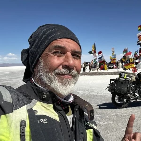
Gustavo Correa
Motoviajero, autor y consultor de viajes en moto. +110.000 km por 4 continentes con Gloria, mi moto. Todo lo que lees aquí está probado en la carretera, no en un despacho.
Conoce mi historia →Última verificación: 2026-08-29
UN REGALO POR ESTAR AQUÍLA AVENTURA DE VIVIR LIBRE
Sientes que el miedo o la duda te paralizan antes de arrancar cualquier proyecto? No estás solo, a todos nos ha pasado.
Como agradecimiento por visitar mi página, te regalo mi libro "La Aventura de Vivir Libre". Un manual diseñado para darte un poco de luz entre tantas sombras y mostrarte la filosofía que me ha permitido recorrer el mundo durante años.
* PDF DIRECTO A TU BANDEJA. SIN SPAM.