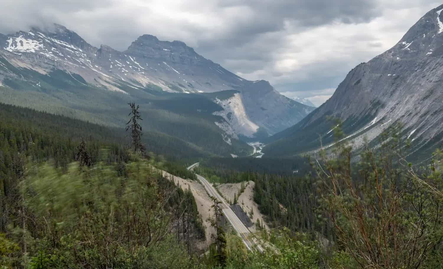
MOTORCYCLE TRAVEL IN Canada
QUICK ANSWER
Canada is one of the simplest countries in North America to enter with your own motorcycle: it doesn't require a carnet de passage and allows temporary import for up to 12 months with no formal customs process. The point that does need planning ahead is insurance — if your home policy doesn't cover Canadian territory, you need a liability card valid in Canada before you cross, whether you're arriving overland from the US or unloading the motorcycle at a port like Halifax or Vancouver.
WHAT YOU NEED TO KNOW
The country you're about to enter has particularities you need to know.
Before you cross the border there are four things you need locked down: how safe the country is, what insurance is mandatory for your motorcycle, where you'll actually find fuel, and when to go. None of these are optional.
SAFETY: VERY LOW RISK (1/5)
Is Canada safe to enter by motorcycle? Yes — it's consistently ranked among the safest countries in the world, and the concerns that exist are hyper-local, not national.
AREAS TO AVOID
- Vancouver's Downtown Eastside: The East Hastings Street corridor, between Main and Clark, concentrates open drug use according to traveler and resident accounts — despite being a tiny fraction of the city's area. It's passable by day, but not a place to stop or leave the bike.
- Jane and Finch and Regent Park (Toronto): Areas with more reported incidents than the city average, according to local media — the rest of Toronto ranks among the safest cities in North America. If GPS routes you through there at night, take the main road instead.
WHERE TO PARK
- Parking: On the street: fine by day almost everywhere in the country. At night, in downtown Vancouver or Toronto, prefer a gated lot or a station with cameras.
- Alarm: Recommended in the big cities. In small towns in the Rockies or the Maritimes it's less necessary.
- Luggage: Take off what you can carry (tank bag, backpack) when parking in urban areas. Never leave anything loose in plain sight.
- Visibility: Park where there's foot traffic and good lighting — never in an alley or dark corner.
TIPS
- ➜Don't leave the bike overnight on the streets of Vancouver's Downtown Eastside, not even briefly.
- ➜Avoid riding through Jane and Finch or Regent Park in Toronto at night if an alternate route is available.
Outside those specific spots, Canada is one of the safest countries on the planet to travel through by motorcycle.
MANDATORY INSURANCE: Non-Resident Inter-Province Liability Card
Not automatically required if your home policy already extends to Canada — check with your insurer first. If it doesn't, you need the Canada Non-Resident Inter-Province Motor Vehicle Liability Insurance Card, with a minimum of CAD 200,000 in coverage (CAD 50,000 in Quebec). It's issued by insurers who have filed a Power of Attorney and Undertaking (PAU) in Canada, mostly US and Canadian companies — arrange it before you travel if your motorcycle carries a plate from outside North America.
FUEL: SCARCE UP NORTH
Good availability along the Trans-Canada Highway and any route connecting major cities — stations every 50 to 100 km at most. It gets genuinely scarce on the remote northern highways: on the Dempster Highway, the first services after Dawson City are at Eagle Plains (km 369) and the last before Inuvik are at Fort McPherson (km 550), leaving stretches of over 180 km with nothing in between. Carry extra fuel for the Dempster, the Cassiar Highway and similar routes. Prices vary by province — national average around CAD 1.70/litre as of August 2026, higher in British Columbia and Quebec, lower in Alberta.
BEST SEASON: JUN → SEP
June to September for the west coast and the Rockies (Icefields Parkway, Sea-to-Sky Highway) — mid-week in July or August has the least RV and tourist traffic, though August is the busiest month overall. The east coast (Maritimes, Newfoundland) stays rideable a bit longer, into October. Outside that window several key routes close or lose services: the Icefields Parkway's only fuel station and the through-traffic section near Sunwapta Pass shut down from November to April, and the Dempster Highway's river ferries only run June through October, replaced by ice bridges in deep winter. Moose and elk collisions are most common at dawn and dusk — slow down through forested stretches at those hours.
ENTERING CANADA BY MOTORCYCLE
Entering Canada by land from the US is, according to overland riders' accounts, one of the most orderly crossings on the continent: a single Canada Border Services Agency (CBSA) officer handles both passport and vehicle at the same counter, unlike the separate immigration/customs windows common further south. If your motorcycle arrives by sea instead — shipped to a port like Halifax or Vancouver — the same CBSA process applies once it clears the terminal.
The process has two parts:
Border control (CBSA): Checks passport, license and the motorcycle's paperwork at the same post — there are no separate immigration and customs windows.
Temporary import form: The officer issues Form 1, clearing the motorcycle as a visitor vehicle without needing to meet Canadian homologation rules (Motor Vehicle Safety Act).
The temporary import process itself is free — Transport Canada charges no duty or tax as long as the motorcycle leaves the country within the authorized period.
Real friction point:it isn't the paperwork for the motorcycle itself, it's the insurance. Canada doesn't require a carnet de passage, but if your home policy doesn't cover Canadian territory you need a Non-Resident Inter-Province Motor Vehicle Liability Insurance Card (the "yellow card") with a minimum of CAD 200,000 in coverage (CAD 50,000 in Quebec). Most insurers who issue that card operate only in the US and Canada — for a motorcycle plated in Latin America, Europe or elsewhere, it's worth arranging coverage before you ship the bike, not at the customs counter.
If you're crossing by land from the US, a smaller border post means shorter lines — but check the hours first, since secondary crossings close early.
REQUIRED DOCUMENTATION
Passport: Valid for the whole length of your stay.
Driving license + IDP: Your home license is valid as a visitor, but it's worth also carrying an International Driving Permit (1949 Convention) if it isn't in English or French.
Motorcycle title/registration: In your name. If you're not the owner, notarized power of attorney from them is recommended.
Insurance valid in Canada: Your home policy if it covers Canadian territory, or the non-resident card (yellow card) with a minimum CAD 200,000 in coverage.
Temporary import form (Form 1): Issued by the same CBSA officer at the crossing — it clears the motorcycle as a visitor vehicle for up to 12 months.
With these five items in order, entering Canada with a foreign motorcycle is one of the most straightforward procedures in North America — no carnet, no vehicle inspection, no import duty. The advice that comes up most often among overseas riders: sort out your Canadian liability insurance before you travel, since that's the one piece that can't be resolved on the spot at every crossing.
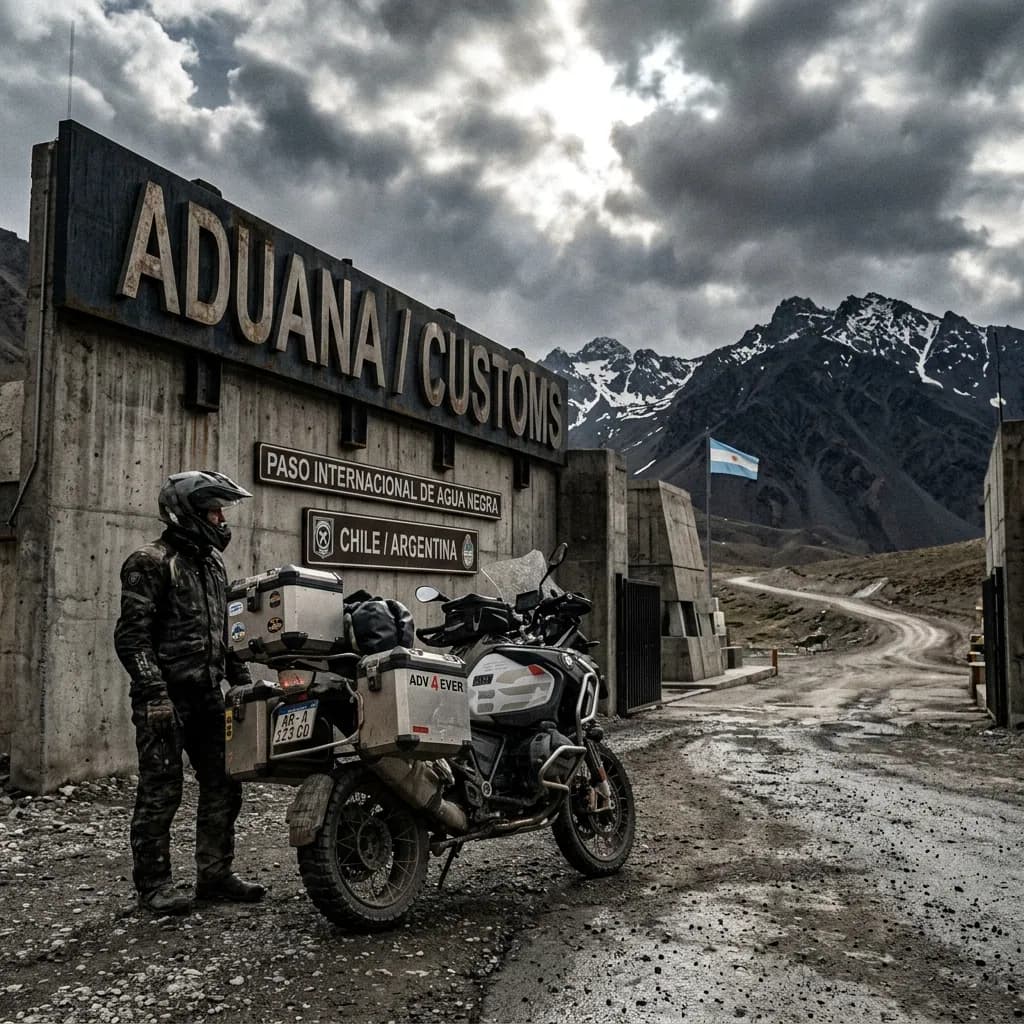
DAILY BUDGET
This price range combines cheap lodging, cooking your own meals, and basic bike maintenance — the three categories that weigh most on any moto traveler's daily budget.
Your real daily budget is something you build yourself, based on your own needs and limits — but if you want an idea of how to build yours, pick a category to see the full guide:
Full cost breakdown in the budget guide
THE 10 BEST MOTORCYCLE ROUTES IN CANADA
This Top 10 is ranked by real fame, from the route most recognized worldwide down to the most under-the-radar: position 1 is the Canadian road that shows up first in almost any international list of best motorcycle routes, the one most riders — local and foreign — cover and document in photos, videos and trip reports. From there, the order moves down toward routes that are just as real and recognized, but with less search volume and less presence in media and specialized forums like Horizons Unlimited or ADVrider.
Several of these routes cross subarctic areas with no cell coverage or repair shops for hundreds of kilometers, so before heading out it is worth reviewingthe mechanics guide for long motorcycle trips, because in northern Yukon or in Labrador there is no repair shop around the corner.
Weather calls the shots too: most of these routes are only safe within the short window from late May to September, and some — like the Dempster Highway or the Top of the World Highway — close outright the rest of the year. Plan the trip around that window, not the other way around.
If you are putting together the logistics for a long crossing through Canada,the motorcycle trip logistics guidehelps you organize transport, insurance and paperwork before you go.
Icefields Parkway:Lake Louise to Jasper
AlbertaRiding the Icefields Parkway by motorcycle means crossing the world's most awarded scenic road: National Geographic ranked it among the planet's best panoramic drives, and it runs 232 km hugging the Continental Divide between Banff and Jasper National Parks.
The highway was finished in 1940 as a Depression-era public works project that employed 600 workers; today it climbs to Bow Summit, at 2,070 masl, the highest paved point in Canada.
The Columbia Icefield, visible from the road, is one of the largest non-polar ice fields in the northern hemisphere and feeds rivers that drain into three different oceans: the Pacific, the Arctic and the Atlantic.
WARNINGS FOR THIS ROUTE
This is what you need to sort out before riding this route.
- 01Fuel range
Fair. There is only one station in between, at Saskatchewan River Crossing; the rest is 232 km with no services.
- 02Wildlife on the road
Parks Canada signs frequent crossings of elk, bears and bighorn sheep, especially at dawn and dusk — slow down during those hours.
Cabot Trail:the Cape Breton Loop
Cape Breton Island, Nova ScotiaLooping the Cabot Trail by motorcycle is Eastern Canada's signature ride: 298 km of pavement that climb and drop through the Cape Breton Highlands, hugging the Atlantic Ocean for most of the way.
The road was finished in 1932 as a tourism marketing move by then Nova Scotia premier Angus L. MacDonald, meant to promote the island's Scottish heritage — and it worked: today it's the route that draws the most motorcycle rallies and gatherings in the region every summer.
The French Mountain and North Mountain stretches are the circuit's toughest, with tight uphill switchbacks that earned a reputation among riders for the vertigo of their ocean-view lookouts.
WARNINGS FOR THIS ROUTE
This is what you need to sort out before riding this route.
- 01Fuel range
Good. Stations exist in the coastal towns the loop passes through (Chéticamp, Ingonish, Baddeck); never more than 60-70 km apart.
- 02Tight uphill curves with coastal fog
The French Mountain and North Mountain stretches can be hit by sudden sea fog even in mid-summer — slow down entering each blind curve.
Alaska Highway:to the Edge of Yukon
British Columbia and YukonRiding the Alaska Highway by motorcycle means following the only overland route ever built to connect the continent with Alaska: nearly 2,000 km that the U.S. Army Corps of Engineers pushed through in just 8 months, between March and October 1942, mobilizing over 10,000 workers in the middle of World War II.
It only opened to civilian traffic in 1948 and today is paved its entire length, but permafrost keeps deforming the asphalt into potholes and heaves that demand constant attention.
Near Liard Hot Springs and Muncho Lake it's common to run into herds of wood bison sunning themselves right on the pavement — a sight as typical of the route as its thousands of kilometers of unbroken boreal forest.
WARNINGS FOR THIS ROUTE
This is what you need to sort out before riding this route.
- 01Fuel range
Good. The route is dotted with service towns every 100-150 km; the longest stretch without a station is in northern Yukon.
- 02Bison and moose on the pavement
Wood bison herds often lie down on the road near Liard Hot Springs and Muncho Lake to soak up the asphalt's heat — brake early, do not swerve suddenly.
Sea-to-Sky Highway:Vancouver to Whistler
British ColumbiaClimbing the Sea-to-Sky Highway by motorcycle means going from sea level to the mountains on a single road: it leaves Vancouver hugging the Howe Sound fjord and reaches Whistler 120 km later, though many riders continue another 30 km to Pemberton. For Vancouver's motorcycling community, it's the most-ridden day trip in all of British Columbia.
The highway was completely rebuilt for the 2010 Winter Olympics, with a 600-million Canadian-dollar investment that added rockfall mesh screens and retaining walls — before that project, the stretch averaged 574 collisions a year and about 7 deaths a year.
WARNINGS FOR THIS ROUTE
This is what you need to sort out before riding this route.
- 01Fuel range
Excellent. Full-service stations in Squamish and Whistler, never more than 60 km without a station.
- 02Crash history before the 2010 rebuild
Between 1998 and 2004 the stretch averaged 574 collisions a year, and about 63 deaths were recorded between 1998 and 2007; the Olympic rebuild cut that sharply, but it remains a mountain road with tight curves and heavy tourist traffic in high season.
Dempster Highway:to the Arctic Circle
Yukon and Northwest TerritoriesReaching the end of the Dempster Highway by motorcycle means crossing the only public road in North America that goes over the Arctic Circle, at about 405 km from Dawson City, on a gravel surface built entirely on berms that protect the permafrost from thawing.
It officially opened on August 18, 1979 and climbs North Fork Pass to 1,289 masl, deep in the Ogilvie Mountains — without a single intersection with another major route along its 737 km to Inuvik.
The gravel is made of sharp shale that shreds tires: it is so well known among riders that the standard advice in Yukon is to carry two spare tires, not one.
WARNINGS FOR THIS ROUTE
This is what you need to sort out before riding this route.
- 01Fuel range
Critical. Only two stations in 737 km: Eagle Plains (km 369) and Fort McPherson (km 550). Always leave with a full tank.
- 02Sharp shale that blows tires
Dempster gravel is sharp shale: the standard advice among riders is to carry two spare tires, not one, and reinforced pressure.
Gaspésie:Route 132 Around the Peninsula
QuebecLooping the Gaspé Peninsula by motorcycle on Route 132 means hugging almost 900 km of coastline along the St. Lawrence River and Gulf, with the Chic-Choc Mountains — capped by Mont Jacques-Cartier at 1,268 meters, Quebec's highest peak — always in view inland.
The circuit's high point is Percé and its Percé Rock: a limestone monolith 433 meters long and 88 meters tall, formed over 400 million years ago in the Devonian period, which in 1534 still had three natural arches — today only one remains, 15 meters tall, after the last one collapsed in 1845.
From Forillon, at the peninsula's eastern tip, you can see the open sea and the mountainous interior at once — the reason Quebec's own tourism board keeps calling it the province's most photographed road trip.
WARNINGS FOR THIS ROUTE
This is what you need to sort out before riding this route.
- 01Fuel range
Excellent. Route 132 connects coastal towns every 20-30 km throughout the loop.
Top of the World Highway:Dawson City to Alaska
Yukon (to the Alaska border)Crossing the Top of the World Highway by motorcycle means leaving Dawson City on a ferry across the Yukon River — there is no bridge — then climbing 127 km of gravel that runs along the crest of the hills, with the valley open on both sides of the road, not below it.
The road has existed since at least 1955 and ends at the Poker Creek-Little Gold Creek border crossing, the northernmost in all of North America, which only opens 8 a.m. to 8 p.m. Alaska time during summer.
The name is not an exaggeration: you ride literally along the crest of the hills, looking down at the forested valleys of both Yukon and Alaska at the same time.
WARNINGS FOR THIS ROUTE
This is what you need to sort out before riding this route.
- 01Fuel range
Limited. No stations between Dawson City and Chicken, Alaska, a stretch of over 150 km.
- 02Fixed border hours
The Poker Creek-Little Gold Creek crossing only opens 8 a.m. to 8 p.m. (Alaska time) in summer — plan your timing so you do not get stuck on the wrong side.
Cassiar Highway:the Wild Road to Yukon
British Columbia and YukonRiding the Cassiar Highway by motorcycle means taking the alternate, less-traveled route to Yukon and Alaska: 875 km crossing the Skeena Mountains and the Continental Divide itself through one of British Columbia's most sparsely populated regions.
It was designated Highway 37 in 1975 and only extended down to Kitimat in 1986; today it is almost entirely paved, but it keeps the name and the wild-highway reputation from its gravel-road days.
Around Jade City, a tiny town that lives off jade mining, and the abandoned mining town of Cassiar, the road still feels like the last civilized stretch before the real Canadian north.
WARNINGS FOR THIS ROUTE
This is what you need to sort out before riding this route.
- 01Fuel range
Tight. Between Meziadin Junction and Dease Lake there are over 200 km without stations — always fill up in every town.
Trans-Labrador Highway:the Road of Isolation
Labrador (Newfoundland and Labrador)Finishing the Trans-Labrador Highway by motorcycle was, until very recently, one of the most respected feats among North American riders: only in July 2022 was the paving of its 1,149 km completed, after decades in which Route 510 was pure gravel and mud between towns separated by hundreds of kilometers of empty boreal forest.
It crosses Labrador from end to end, from the mining town of Labrador City to the Atlantic coast, without a single traffic light or a single town of more than 10,000 people along the way.
Before it was fully paved, this road had a reputation as one of the toughest to ride in North America — today it is still a challenge of logistics and fuel range, if no longer of mud.
WARNINGS FOR THIS ROUTE
This is what you need to sort out before riding this route.
- 01Fuel range
Scarce. Between towns there are stretches of over 100 km with no services of any kind — plan every fill-up with margin.
- 02No cell coverage on long stretches
Much of the route has no cell signal — tell someone your itinerary before setting out and carry a way to call for help that does not depend on your phone.
Highway 17:the North Shore of Lake Superior
OntarioRiding the north shore of Lake Superior by motorcycle on Highway 17 covers one of the core stretches of the legendary Lake Superior Circle Tour, the loop around the largest lake in the world by surface area.
This section between Nipigon and Sault Ste. Marie was finally connected on September 17, 1960, after years of construction over the Canadian Shield, and runs through Lake Superior Provincial Park with the road hugging the water and the Precambrian rock in roughly equal parts.
The Montreal River Hill stretch, with its chained curves hanging over the lake, is the one that shows up most often in the trip reports of riders doing the full loop around Superior.
WARNINGS FOR THIS ROUTE
This is what you need to sort out before riding this route.
- 01Fuel range
Tight. Between Wawa and Highway 552 there are about 200 km with minimal services outside the season — do not pass up an open station.
- 02Moose on the road at dusk
The corridor between Wawa and White River is a known moose-crossing zone — the risk rises sharply at dawn and dusk, when they come down looking for road salt.
NEIGHBORING COUNTRIES
Crossing the border next? Click a country to see its 10 best motorcycle routes.

FREQUENTLY ASKED QUESTIONS
01Do I need a carnet de passage to enter Canada with my motorcycle?
+
Do I need a carnet de passage to enter Canada with my motorcycle?
No. Unlike most countries in the world, Canada does not require a carnet de passage for temporary vehicle importation. Proof of ownership plus the temporary import form issued by the Canada Border Services Agency (CBSA) officer at the crossing is enough.
02How long can I stay in Canada with my foreign motorcycle?
+
How long can I stay in Canada with my foreign motorcycle?
Up to 12 months, according to Transport Canada, as long as the motorcycle is used exclusively by you and isn't sold or given away while in the country. After that, it must be exported or you need to start the permanent import process (Registrar of Imported Vehicles).
03What insurance do I need to enter Canada with a motorcycle plated outside the US or Canada?
+
What insurance do I need to enter Canada with a motorcycle plated outside the US or Canada?
You need liability coverage valid in Canadian territory, with a minimum of CAD 200,000 (CAD 50,000 in Quebec). Most insurers that issue the non-resident card (known as the yellow card) only operate in the US and Canada, so if your bike carries a Latin American, European or other overseas plate, sort out coverage in advance rather than assuming you'll find it easily at the crossing itself.
04Are there gas stations along the whole Dempster Highway and Cassiar Highway?
+
Are there gas stations along the whole Dempster Highway and Cassiar Highway?
Not continuously. On the Dempster, there are more than 180 km with no services between Eagle Plains and Fort McPherson. The Cassiar, though mostly paved, runs through very sparsely populated territory — always carry an extra fuel margin on both routes.
05What's the best time to ride the Icefields Parkway?
+
What's the best time to ride the Icefields Parkway?
Between June and September. In winter the stretch between Saskatchewan River Crossing and Sunwapta Pass closes to through traffic, and the route's only fuel station stays closed from November to April. Even in summer, snow is possible in any month at the highest points (Bow Summit, Sunwapta Pass), so pack layers.
06Do I need an International Driving Permit (IDP) to ride a motorcycle in Canada?
+
Do I need an International Driving Permit (IDP) to ride a motorcycle in Canada?
It's not mandatory if your license is already in English or French, but it's recommended anyway: most provinces only recognize a valid foreign license during the first few months of your stay as a visitor, and the IDP (1949 Convention) avoids any doubt if a traffic officer asks for it.
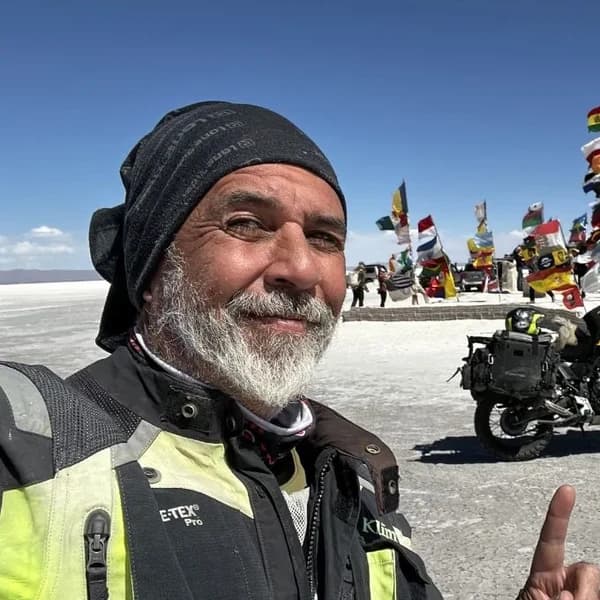
Gustavo Correa
Moto traveler, author and motorcycle travel consultant. 110,000+ km across 4 continents with Gloria, my motorcycle. Everything you read here has been tested on the road, not in an office.
Read my story →Last verified: 2026-08-29
A GIFT FOR BEING HERETHE ADVENTURE OF LIVING FREE
Do fear or doubt paralyze you before starting any project? You're not alone — every one of us has been there.
As a thank-you for visiting my site, I'm giving you my book "The Adventure of Living Free". A manual built to bring some light through the shadows and show you the philosophy that has let me ride the world for years.
* PDF STRAIGHT TO YOUR INBOX. NO SPAM.