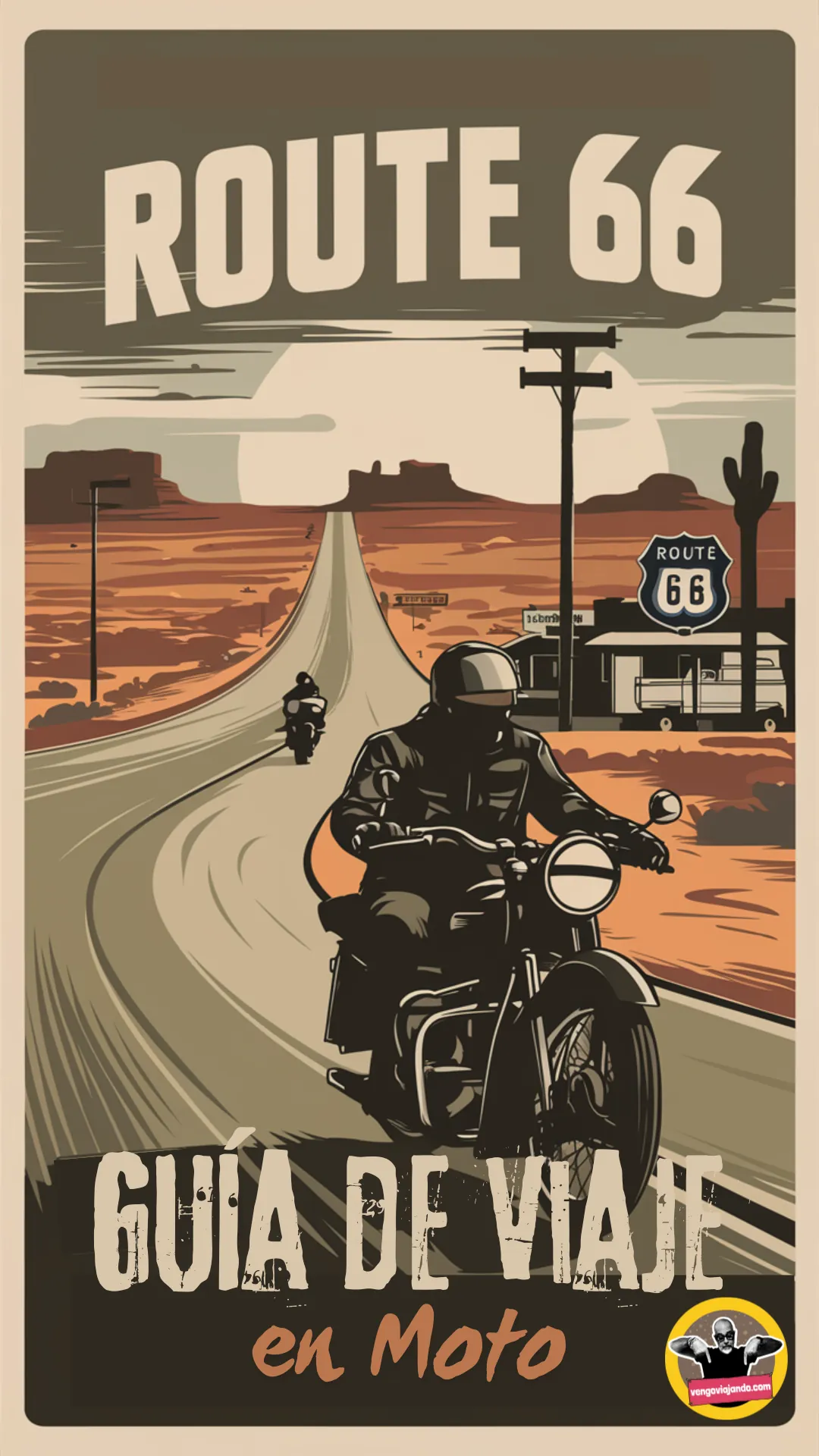
MOTORCYCLE TRAVEL IN United States
QUICK ANSWER
The United States is the gateway to Route 66, the founding myth of the motorcycle road trip, and also to extreme routes like the Dalton Highway up to the Arctic in Alaska. Entry at a land crossing from Mexico or Canada is, in practice, simpler than almost anywhere in Latin America: there's no temporary import fee or deposit for the motorcycle. The real friction point is elsewhere — getting third-party liability insurance that's actually valid on US soil, since almost no foreign policy, South American ones included, holds up here.
WHAT YOU NEED TO KNOW
The country you're about to enter has particularities you need to know.
Before you cross the border there are four things you need locked down: how safe the country is, what insurance is mandatory for your motorcycle, where you'll actually find fuel, and when to go. None of these are optional.
SAFETY: LOW RISK (2/5)
Is the United States safe to enter by motorcycle? Yes — it's one of the countries with the best service infrastructure in the world, with parked-bike theft in a handful of specific cities as the one real, documented risk.
AREAS TO AVOID
- Los Angeles and San Diego, California: California is the state with the most stolen motorcycles in the US, and both cities rank among the country's top 5 for motorcycle theft, according to National Insurance Crime Bureau data cited by the Insurance Information Institute. Relevant because they're the classic Route 66 endpoint and the crossing point from Tijuana.
- Las Vegas, Nevada: Among the country's top five cities for motorcycle theft — an almost mandatory stop for anyone combining Route 66 with the Grand Canyon or Death Valley.
- Miami, Florida: The country's third city for motorcycle theft — a common entry point for those flying in and shipping the motorcycle by sea instead of riding it across the border.
WHERE TO PARK
- Parking: On the street: fine by day in tourist areas, avoid it at night in the cities listed above. Motels and hotels with their own lot, or gas stations with cameras, are the safest overnight option.
- Alarm: Recommended: yes, especially in the highest-theft cities. A front disc lock is the deterrent most cited by insurers in the country.
- Luggage: Take off what you can carry (tank bag, backpack, electronics) when parking. Never leave anything loose in plain sight, even at a motel.
- Visibility: Park where there's foot traffic and good lighting — never in an alley or an empty lot, no matter the time of day.
TIPS
- ➜Drivers distracted by their phone are the crash cause most cited by the NHTSA — keep extra distance and stay out of big trucks' blind spots on the interstates.
- ➜On rural highways in the Midwest and the Rockies, at dusk, the bigger risk isn't theft but a collision with deer or elk — slow down through wooded areas between dusk and 10 pm.
Outside those specific cities, the United States is one of the most organized and predictable countries in the world to ride through — clear signage, well-kept roads, and roadside assistance available almost everywhere.
MANDATORY INSURANCE: Third-party liability insurance (financial responsibility)
There's no single national policy like South America's SOAT or SOAPEX — each state sets its own mandatory minimum liability coverage (financial responsibility law), and foreign policies aren't valid inside the country. The real way to solve it is contracting with a broker specialized in international visitors before you cross, not along the way.
FUEL: SCARCE IN ALASKA
Excellent coverage across almost the whole country, with stations every few miles along Route 66 and the interstates. The real exception is the Dalton Highway in Alaska, where some stretches run close to 400 km (245 miles) without a single station — leave Coldfoot or Deadhorse with a full tank and, if you can, an extra jerry can.
BEST SEASON: MAY - SEP
May to September is the window that works for both of the site's paid guides. For Route 66, May and September are the sweet-spot months — stable weather without summer's extreme heat (over 104°F/40°C on the Arizona and California stretch) or the July-August crowds. For the Dalton Highway in Alaska, the real season is shorter: late May to mid-September, with June through August as the safe stretch before the ice comes back.
ENTERING THE UNITED STATES BY MOTORCYCLE
Most motorcycle travelers reach the United States one of two ways: crossing overland from Mexico (San Ysidro/Tijuana, El Paso/Ciudad Juárez, Laredo) at the end of the Pan-American route, or flying in and shipping the bike by sea or air to start straight on Route 66. According to traveler accounts on Horizons Unlimited and guides like Mad or Nomad, the land crossing is, at the main posts, one of the lighter processes on the continent — there's no customs procedure as strict as Mexico's TIP, and no deposit involved.
The process has two parts:
Immigration (CBP): The Customs and Border Protection officer checks your passport, visa or ESTA (if applicable), and stamps your entry.
Customs (motorcycle declaration): At a land crossing, showing the motorcycle's title is usually enough — there's no paid temporary import permit like Mexico's TIP. If you arrive by sea or air, the process is more formal and usually needs a customs broker.
Crossing at a land border is free — unlike Mexico or Chile, the US doesn't charge a temporary import fee or ask for a deposit for the motorcycle, according to Customs and Border Protection.
Real friction point:it isn't customs, it's insurance. Almost no foreign policy — South American ones or the Green Card/Mercosur included — is valid inside the United States, and the big insurers (GEICO, Progressive) usually refuse to quote a non-resident with a foreign plate and no local address. The real alternative is a broker specialized in international visitors, like Fernet Insurance Brokers, who put together a liability policy valid only within the US.
If instead you ship the motorcycle in by sea or air rather than riding it across, add the EPA 3520-1 form and the DOT's HS-7 — that's when a customs broker is worth it, because the process stops being informal.
REQUIRED DOCUMENTATION
Valid passport: Valid for the whole length of your stay.
ESTA or visa: If your country is in the Visa Waiver Program, apply for the ESTA online before you travel; otherwise you need a B-2 tourist visa.
Driving license: Your home country's license is enough in most states; if it isn't in English, it's worth getting an International Driving Permit too.
Motorcycle title: If you're not the registered owner, you need notarized authorization from them.
HS-7 form (DOT declaration): The vehicle's temporary import declaration — at a land crossing it's almost never checked on paper, but it's worth carrying it filled out anyway.
US-valid liability insurance: Your home policy won't work — you need one issued or recognized by an insurer that operates in the United States.
With these six documents sorted, crossing into the United States through a main land border is, in practice, faster than entering most countries in the region. The advice that comes up most often among motorcycle travelers: sort out insurance before you reach the border, because it's the one thing that can actually hold you up on the other side.
DAILY BUDGET
This price range combines cheap lodging, cooking your own meals, and basic bike maintenance — the three categories that weigh most on any moto traveler's daily budget.
Your real daily budget is something you build yourself, based on your own needs and limits — but if you want an idea of how to build yours, pick a category to see the full guide:
Full cost breakdown in the budget guide
THE 10 BEST MOTORCYCLE ROUTES IN THE UNITED STATES
This Top 10 is ranked from highest to lowest real-world fame, not personal preference: position 1 is the route that comes up first in almost any search for "motorcycle route United States" and the one most ridden by both local and international motorcyclists, based on how often it's mentioned on forums like Horizons Unlimited and ADVrider, on international motorcycle-travel blogs, and in the sheer volume of articles and videos covering each stretch. The rankings below drop in real-world recognition, but all 10 are genuinely established routes, not personal discoveries.
Crossing the United States by motorcycle means distances far longer than they look on a map: before setting out, it's worth reviewingthe complete guide to preparing a long motorcycle trip, from paperwork to building the itinerary.
Many of these mountain stretches sit far from the nearest repair shop: check outthe mechanics guide for long motorcycle tripsbefore climbing passes like the Beartooth or the Million Dollar Highway.
If you haven't picked the bike for this trip yet,the guide to the best motorcycles for touringcompares which models perform best on the curvy pavement of the east and at the high elevations of the west.
Route 66:The Mother Road
Illinois to California (8 states)Riding Route 66 by motorcycle means crossing the entire country along the original alignment of the first transcontinental highway, connecting Chicago to Santa Monica: 3,940 km, opened on November 11, 1926.
John Steinbeck named it "the Mother Road" in his 1939 novel The Grapes of Wrath, when thousands of families used it to flee the Dust Bowl toward California. The name stuck forever.
The highway lost its official numbering in 1985, replaced by the interstate system, but survives as Historic Route 66 thanks to entire communities that organized to preserve its neon motels, vintage signs, and the eight states it crosses (California, Arizona, New Mexico, Texas, Oklahoma, Kansas, Missouri and Illinois).
For international riders it's the ultimate bucket-list trip: Harley-Davidson rental shops in Los Angeles and Chicago live almost exclusively off European and Latin American motorcyclists who come specifically to ride it.
WARNINGS FOR THIS ROUTE
This is what you need to sort out before riding this route.
- 01Fuel range
Good overall, though there are long, sparsely populated stretches through the Arizona and New Mexico desert where it pays not to skip a station.
Pacific Coast Highway:California Route 1 Through Big Sur
California (San Simeon to Carmel-by-the-Sea)Riding the Pacific Coast Highway by motorcycle through Big Sur means crossing one of the most photographed coastal stretches on the planet: 72 miles (116 km) of pavement carved into the cliffs of the Santa Lucia Mountains, built between 1919 and 1937 almost entirely by hand.
The icon of the ride is Bixby Bridge, a 320-foot (98m) arch completed in 1932, five years before the rest of the highway, and today one of the most photographed bridges in the United States.
It's a living, fragile road: recent landslides have forced full closures, like the Pfeiffer Canyon Bridge collapse in 2017 (8-month closure, $24 million rebuild) and the Mud Creek slide that same year, which buried a third of a mile of road under tons of earth and rock.
That's why no serious rider heads out to Big Sur without checking the road's status the same day: last-minute detours are common.
WARNINGS FOR THIS ROUTE
This is what you need to sort out before riding this route.
- 01Fuel range
Fair. There are stations at both ends (San Simeon and Carmel) but the central Big Sur stretch has limited, expensive services.
- 02Frequent landslide closures
Entire sections of the road have closed for months in recent years (Pfeiffer Canyon Bridge 2017, Mud Creek 2017). Check the road's current status before heading out, especially after heavy rain.
Tail of the Dragon:the 318 Curves of Deals Gap
North Carolina-Tennessee border (US-129)Riding the Tail of the Dragon by motorcycle means tackling 318 certified curves in just 18 km of US-129, between North Carolina and Tennessee, the highest curve density of any road in the United States, and the reason it's carried that nickname since 1981.
The road hugs Great Smoky Mountains National Park without a single house, business, or driveway along the entire stretch, with curves named by riders themselves: Copperhead Corner, Hog Pen Bend, Wheelie Hell.
It's also the road with the most professional motorcycle-photography businesses in the country: outfits like Killboy set up at the curves to sell photos to every rider who passes through, a business that only exists because of the sheer volume of motorcyclists who pilgrimage here.
The speed limit dropped from 55 to 30 mph in 2005 after years of crashes, and the Blount County Rescue Squad keeps a standing presence on summer weekends just for this stretch.
WARNINGS FOR THIS ROUTE
This is what you need to sort out before riding this route.
- 01Fuel range
Good. There's a fuel stop and motorcycle shop right at the Deals Gap crossroads, at the start of the stretch.
- 02Documented high crash rate
Roughly 37 motorcyclist fatalities were recorded on this stretch between 2000 and 2017. It's a technical road that demands reading each curve before you commit, not a place to push the limit on your first pass.
Blue Ridge Parkway:America's Favorite Scenic Drive
Virginia and North CarolinaRiding the Blue Ridge Parkway by motorcycle means covering 755 km of gentle curves designed purely for scenic cruising: no trucks, no billboards, not a single traffic light between Virginia and North Carolina.
Construction began on September 11, 1935 and was substantially finished by 1966, with the exception of the Linn Cove Viaduct, an engineering feat wrapped around Grandfather Mountain so complex it wasn't completed until 1987.
Since 1946, it has been the single most visited unit in the entire U.S. National Park System almost every year, ahead of even the Grand Canyon.
The speed limit never exceeds 45 mph and drops lower in several sections, so the Blue Ridge Parkway by motorcycle is meant to be ridden slowly, through 26 tunnels cut into the mountain and overlooks every few kilometers.
WARNINGS FOR THIS ROUTE
This is what you need to sort out before riding this route.
- 01Fuel range
Limited within the parkway itself (there are no stations along the route); you need to exit to nearby towns and highways periodically.
Going-to-the-Sun Road:Crossing Glacier National Park
Montana (Glacier National Park)Crossing the Going-to-the-Sun Road by motorcycle means traversing the Continental Divide through the heart of Glacier National Park, built between 1921 and 1932 and formally dedicated on July 15, 1933, at a cost of $2.5 million at the time.
The high point, Logan Pass, sits at 6,646 feet (2,026m), and in winter it accumulates up to 80 feet (24m) of snow, which is why the maintenance crew needs up to 10 weeks every spring just to reopen the road.
It's a National Historic Landmark for its engineering: stone retaining walls, tunnels, and curves literally cut into the cliff face, with the stretch between Logan Pass and the Loop so narrow it restricts vehicles taller than 10 feet.
The full-opening window is short and variable, in 2022 it didn't fully open until July 13, so every rider planning around it checks the road's status week by week.
WARNINGS FOR THIS ROUTE
This is what you need to sort out before riding this route.
- 01Fuel range
None inside the park. Fill up in West Glacier or St. Mary before climbing.
Beartooth Highway:America's Most Beautiful Drive
Montana-Wyoming border (US-212)Climbing the Beartooth Highway by motorcycle means riding up to Beartooth Pass, at 10,947 feet (3,337m), on a road opened June 14, 1936, straddling the Montana-Wyoming border.
Legendary CBS News correspondent Charles Kuralt famously called it "America's most beautiful drive," a line that's been repeated in every tourism brochure and motorcycle travel blog that mentions it since.
It's only open about five months a year, from mid-May to mid-October, with a series of switchbacks and hairpins that climb from forest to treeless alpine tundra in just a few kilometers.
It's the northeast gateway to Yellowstone: most riders combine it with a park entry right on the other side of Cooke City.
WARNINGS FOR THIS ROUTE
This is what you need to sort out before riding this route.
- 01Fuel range
Scarce at the top. Fill up in Red Lodge or Cooke City, there are no stations on the high stretch.
Million Dollar Highway:Colorado's Cliffside Ride
Colorado (US-550, Ouray to Silverton)Riding the Million Dollar Highway by motorcycle means climbing Red Mountain Pass, at 11,018 feet (3,358m), on a road carved in 1924 over the ruins of Colorado's silver mining boom.
No one agrees on where the name comes from: some say it cost a million dollars a mile to build in the 1920s, others that the road's fill dirt contains a million dollars in gold ore. Neither legend is confirmed, and that uncertainty is part of the myth.
The ruins of the Idarado Mine are still visible climbing the pass, with the remains of the Longfellow Mine further along, a reminder that this road was built to haul silver out of the mountain, not for tourism.
The reason it shows up on every 'most dangerous roads in America' list is simple: sheer cliffs, narrow lanes, and an almost total absence of guardrails along several stretches.
WARNINGS FOR THIS ROUTE
This is what you need to sort out before riding this route.
- 01Fuel range
Good at both ends (Ouray and Silverton), none on the mountain stretch between them.
- 02No guardrails on cliffside curves
Much of the route has no guardrail along the drop-off. Riding northbound (Silverton to Ouray) keeps the rider on the mountain side, not the edge; worth choosing that direction the first time.
Cherohala Skyway:the Perfect Companion to the Dragon
Tennessee and North CarolinaRiding the Cherohala Skyway by motorcycle is the natural companion to any pilgrimage to the Tail of the Dragon: 69 km climbing over 1,200 meters of elevation change between the Cherokee and Nantahala national forests, the source of its name.
It was planned starting in 1958 but took nearly four decades to build, it finally opened on October 12, 1996, at a final cost of about $100 million, one of the most expensive road projects in Tennessee and North Carolina history.
Unlike the Dragon, there aren't 318 tight curves here to work the bike hard, just long, sweeping panoramic views across the Unicoi Mountains: the perfect loop to slow the pace down after the adrenaline of Deals Gap.
Almost no rider reaches the area without doing both roads on the same trip: it's just a 20-minute transfer between the end of one and the start of the other.
WARNINGS FOR THIS ROUTE
This is what you need to sort out before riding this route.
- 01Fuel range
Good at both ends (Tellico Plains and Robbinsville); none on the high mountain stretch.
Highway 12:A Journey Through Time in Utah
Utah (Garfield and Wayne counties)Riding the Highway 12 by motorcycle, officially named "A Journey Through Time Scenic Byway," means covering 198 km of landscape running from Bryce Canyon's pink cliffs to the red rock of Grand Staircase-Escalante, ending at the stone domes of Capitol Reef National Park.
The most talked-about stretch among riders is the Hogback, where the road literally runs along the top of a rock ridge with a drop on both sides and almost no shoulder, one of the few places in the U.S. where the road itself feels like a suspended overlook.
It's one of the very few roads in the country with the All-American Road designation, the highest category the federal government grants a scenic highway, reserved only for routes that offer something you can't see anywhere else.
Elevation swings hard over just a few kilometers: you climb from desert floor to the conifer forest of Boulder Mountain, a change in vegetation and temperature the rider feels in their own body.
WARNINGS FOR THIS ROUTE
This is what you need to sort out before riding this route.
- 01Fuel range
Good at both ends (Panguitch, Escalante, Boulder, Torrey); the Boulder Mountain stretch has limited services.
Trail Ridge Road:North America's Highest Paved Road
Colorado (Rocky Mountain National Park)Climbing the Trail Ridge Road by motorcycle means reaching 12,183 feet (3,713m) at its highest point, the highest continuous paved road in all of North America, built between 1929 and 1938 inside Rocky Mountain National Park.
More than 20 km of the route runs above the treeline, through pure alpine tundra, where the average January temperature drops to -11°C and July barely reaches 10°C: the rider crosses, in minutes, an ecosystem that at other latitudes only appears thousands of meters higher.
Snow is the constant problem: over 38 inches (nearly a meter) fall each year on the high section, and the maintenance crew uses wooden poles driven into the road's edge just to know where the route is buried under snow when they clear it each spring.
Today's grades reach 7%, far gentler than the 16% of the original 1921 road, proof of how much the route had to be redesigned to make it safely passable.
WARNINGS FOR THIS ROUTE
This is what you need to sort out before riding this route.
- 01Fuel range
None inside the park. Fill up in Estes Park or Grand Lake before crossing.
NEIGHBORING COUNTRIES
Crossing the border next? Click a country to see its 10 best motorcycle routes.

FREQUENTLY ASKED QUESTIONS
01Do I need a visa to enter the United States by motorcycle?
+
Do I need a visa to enter the United States by motorcycle?
It depends on your nationality. If your country is in the Visa Waiver Program, you apply for the ESTA online at esta.cbp.dhs.gov before traveling and can stay up to 90 days. If your country isn't in the program, you need a B-2 tourist visa arranged at a US consulate in advance.
02How long can I stay in the US with my foreign motorcycle?
+
How long can I stay in the US with my foreign motorcycle?
Up to one year maximum for a non-resident's personal use, without paying import duties or meeting the FMVSS/EPA standards required for a permanent import, according to Customs and Border Protection and NHTSA. Your own personal stay, though, is usually capped by your visa or ESTA (90 days), which normally expires before the motorcycle's allowance does.
03Does my motorcycle insurance from another country work in the United States?
+
Does my motorcycle insurance from another country work in the United States?
No. Practically no foreign policy, South American ones and the Green Card/Mercosur included, is valid inside the US. You need third-party liability coverage issued by an insurer operating in the country, something most large insurers won't sell to a non-resident with a foreign plate — that's what specialized brokers like Fernet Insurance Brokers are for.
04Do all US states require a motorcycle helmet?
+
Do all US states require a motorcycle helmet?
No. Only 17 states plus Washington D.C. have a universal helmet law (mandatory for everyone), about 30 states require it only by age (usually under 18), and three states — Illinois, Iowa, and New Hampshire — have no requirement at all, according to the Insurance Institute for Highway Safety. It's worth checking the specific state's law before crossing it, since it changes from one to the next.
05What's the best time of year to ride Route 66?
+
What's the best time of year to ride Route 66?
May and September are the sweet-spot months: stable weather along the whole route, without summer's extreme heat (which can top 104°F/40°C on the Arizona and California stretch) or the July-August crowds. Winter isn't recommended — there's ice and snow risk on the higher sections, especially out west.
06Can I ride to Alaska on the Dalton Highway?
+
Can I ride to Alaska on the Dalton Highway?
Yes, and it's one of the cult routes in motorcycle travel worldwide: 414 miles (666 km) of gravel and rough pavement from Fairbanks to Deadhorse (Prudhoe Bay), on the edge of the Arctic Ocean. The real season runs from late May to mid-September, with stretches close to 245 miles (400 km) without fuel or assistance — vengoviajando has a dedicated paid guide just for this route.
07Do I need an International Driving Permit to ride a motorcycle in the US?
+
Do I need an International Driving Permit to ride a motorcycle in the US?
It isn't mandatory in most states if your national license is in the Latin alphabet, but it varies: some states or rental companies ask for one anyway, especially if the license isn't in English. It's worth getting one before you travel regardless, since it avoids friction at a police stop or when renting a bike.
Want to ride Route 66 on your own?
Everything on this page is free and will help you plan the trip. If you want the route loaded on your GPS and fully mapped out ahead of time, the paid guide bundles the GPX track, checklist, lodging and mechanics into a single PDF.
SEE THE ROUTE GUIDE WITH GPX TRACK →
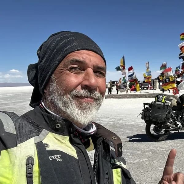
Gustavo Correa
Moto traveler, author and motorcycle travel consultant. 110,000+ km across 4 continents with Gloria, my motorcycle. Everything you read here has been tested on the road, not in an office.
Read my story →Last verified: 2026-08-30
A GIFT FOR BEING HERETHE ADVENTURE OF LIVING FREE
Do fear or doubt paralyze you before starting any project? You're not alone — every one of us has been there.
As a thank-you for visiting my site, I'm giving you my book "The Adventure of Living Free". A manual built to bring some light through the shadows and show you the philosophy that has let me ride the world for years.
* PDF STRAIGHT TO YOUR INBOX. NO SPAM.