MOTORCYCLE TRAVEL IN Uruguay
QUICK ANSWER
Uruguay is South America's calmest border crossing — and, per the 2026 Global Peace Index, its safest country to ride through. If your bike is plated in Argentina, Brazil or Paraguay you cross with just the Mercosur Green Card insurance and barely any paperwork; if it's plated outside Mercosur, the free Temporary Admission permit is valid up to a year. The one thing to budget for: Uruguay has the most expensive gasoline in Latin America.
WHAT YOU NEED TO KNOW
The country you're about to enter has particularities you need to know.
Before you cross the border there are four things you need locked down: how safe the country is, what insurance is mandatory for your motorcycle, where you'll actually find fuel, and when to go. None of these are optional.
SAFETY: VERY LOW RISK (1/5)
Is Uruguay safe to enter by motorcycle? Yes — it's the safest country in all of South America.
AREAS TO AVOID
- Montevideo's peripheral belt: Casavalle, Marconi, Malvín Norte and the northern part of Cerro concentrate the capital's violent crime against people — areas your GPS may route you through if you cross Montevideo end to end without sticking to the main avenues.
- Ciudad Vieja at night: Montevideo's historic quarter is safe by day and busy with tourists, but at night petty theft picks up and homeless people become more visible in the area, so it's worth being extra cautious after dark.
WHERE TO PARK
- Parking: On the street: fine by day in tourist areas (Pocitos, Punta Carretas, Ciudad Vieja). At night in Montevideo, a gated garage or a watched spot is safer.
- Alarm: Recommended in Montevideo. Low priority in interior towns or the coast outside high season.
- Luggage: Take off what you can carry (tank bag, backpack) when parking in the city. Never leave anything loose in plain sight.
- Visibility: Park where there's foot traffic and good lighting, especially at night in the capital.
TIPS
- ➜Don't ride into Montevideo's peripheral belt at night if you can help it — stick to the main avenues.
- ➜In Montevideo's Ciudad Vieja, be extra cautious after dark, even though it's a tourist area.
Outside Montevideo's periphery, Uruguay is the calmest country in South America to ride through — the top-ranked country in the region on the 2026 Global Peace Index, ahead of Chile and Argentina.
MANDATORY INSURANCE: Green Card (Mercosur Certificate)
Mandatory civil liability certificate required to enter and circulate through Mercosur countries, including Uruguay. If your bike is plated in Argentina, Brazil or Paraguay, you arrange it with your own home insurer before crossing — it's now accepted in digital format at controls, alongside your license and vehicle documents.
FUEL: MOST EXPENSIVE IN S. AMERICA
Fuel availability is not the issue in Uruguay — the country is small and densely covered with stations (ANCAP and other brands). The issue is price: Uruguay has the most expensive gasoline in Latin America, well above every neighboring country. Budget extra for fuel here, and if you have the option, top up the tank before crossing in from Argentina or Brazil.
BEST SEASON: OCT-NOV / MAR-APR
December to March (southern summer) has the best weather for the coast, but also the highest prices and heaviest traffic through the beach towns. Spring (October-November) and fall (March-April) offer equally good riding weather, far fewer tourists and better lodging prices — the better window for a motorcycle trip that isn't chasing beach season specifically.
ENTERING URUGUAY BY MOTORCYCLE
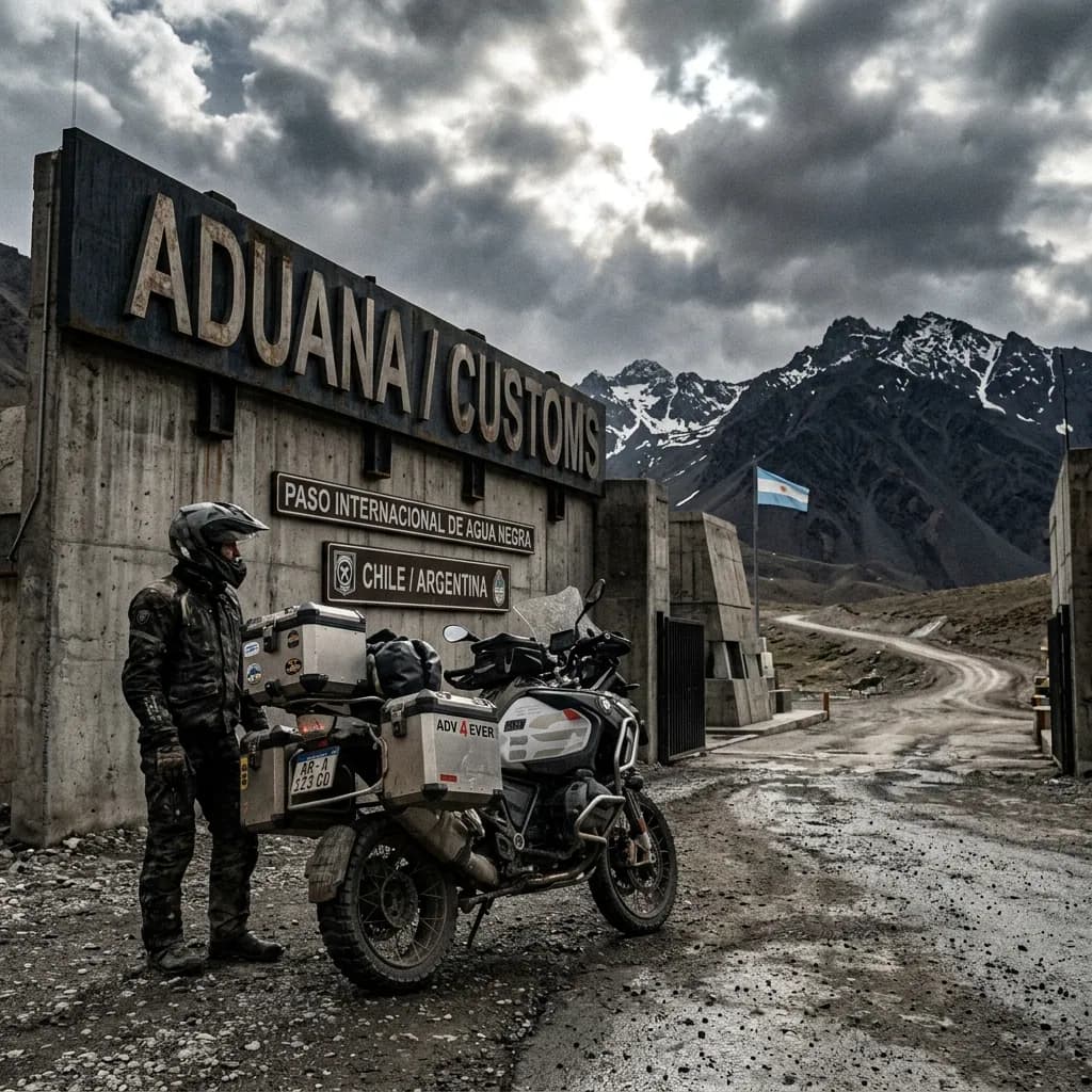
Crossing into Uruguay with a bike splits into two very different tracks depending on where it's plated, according to Uruguay's own customs portal (aduanas.gub.uy) and the country's foreign trade window (VUCE).
Mercosur-plated motorcycles (Argentina, Brazil, Paraguay) circulate almost without formalities — selective controls only, no formal customs paperwork, up to 90 days. Non-Mercosur bikes (US, Europe, Colombia, and so on) go through a Temporary Admission (AT) request, free of charge, valid up to one year.
The process has two parts:
Immigration: Stamps your passport on entry and sets your tourist status.
Customs: Registers the motorcycle's Temporary Admission (non-Mercosur bikes) or runs the selective check (Mercosur bikes), at the same post.
The Temporary Admission (AT) process for the motorcycle is free — there's no charge, according to Uruguay's National Customs Directorate.
Real friction point:it's not the border post itself, it's the paperwork sequence for non-Mercosur plated bikes. The Temporary Admission (AT) request has to be registered online through Uruguayan customs' portal before you physically show up at the crossing — riders who arrive without having done this step first face delays while staff try to process it on the spot.
For bikes plated in Argentina, Brazil or Paraguay this doesn't apply at all: Mercosur-plated vehicles circulate with just the Green Card insurance and selective checks, no formal customs procedure.
REQUIRED DOCUMENTATION
Valid passport or national ID: Must be valid for your whole planned stay.
Driving license: Your home country's license is valid.
Motorcycle ownership title: If you're not the registered owner, notarized authorization from them is required.
Green Card / Mercosur certificate: Mandatory civil liability insurance to circulate — arranged with your home insurer before crossing (for Mercosur-plated bikes).
Temporary Admission (AT) application: Only for non-Mercosur plated bikes — registered at no cost through the National Customs Directorate's system before showing up at the crossing.
Between the free permit, the orderly bridges from Argentina, and being the safest country in the region, Uruguay is the easiest border crossing on the whole South American loop. The one thing worth double-checking before you leave home: get the Green Card certificate sorted with your own insurer, since it's the document authorities ask for jointly with your license and vehicle papers at every control.
DAILY BUDGET
This price range combines cheap lodging, cooking your own meals, and basic bike maintenance — the three categories that weigh most on any moto traveler's daily budget.
Your real daily budget is something you build yourself, based on your own needs and limits — but if you want an idea of how to build yours, pick a category to see the full guide:
Full cost breakdown in the budget guide
THE 10 BEST MOTORCYCLE ROUTES IN URUGUAY
Uruguay has no Andean peaks or endless salt flats, and that's exactly the starting point for this Top 10: in a small, mostly flat country, "the best motorcycle routes" aren't chosen for altitude or mileage, but for what genuinely surprises a first-time rider. I picked these 10 by combining what motorcycle travelers themselves keep documenting in forums and travel logs with the country's real diversity: dunes that swallow the pavement, a 100-meter canyon nobody expects to find here, the only volcanic mountain range in the territory, a colonial World Heritage town, hot springs that fill up in the dead of winter, and a gaucho valley that feels like a different country entirely.
Uruguay mixes USD 15 camping nights with dinner in a boutique-winery village, so before you head out it's worth knowing what you'll spend per day — checkthe motorcycle travel budget guideto build your own estimate based on how you like to travel.
Three of these routes — the Quebrada de los Cuervos, the Grutas del Palacio and the Cabo Polonio access — leave the main roads behind on gravel or dirt stretches where you won't run into a repair shop even by chance.
Before riding into any of those three stretches, it's worth reviewingthe mechanics guide for long motorcycle trips, because in Uruguay's interior the next tire shop can be over an hour away.
Route 10 to Cabo Polonio:La Puerta del Polonio
Rocha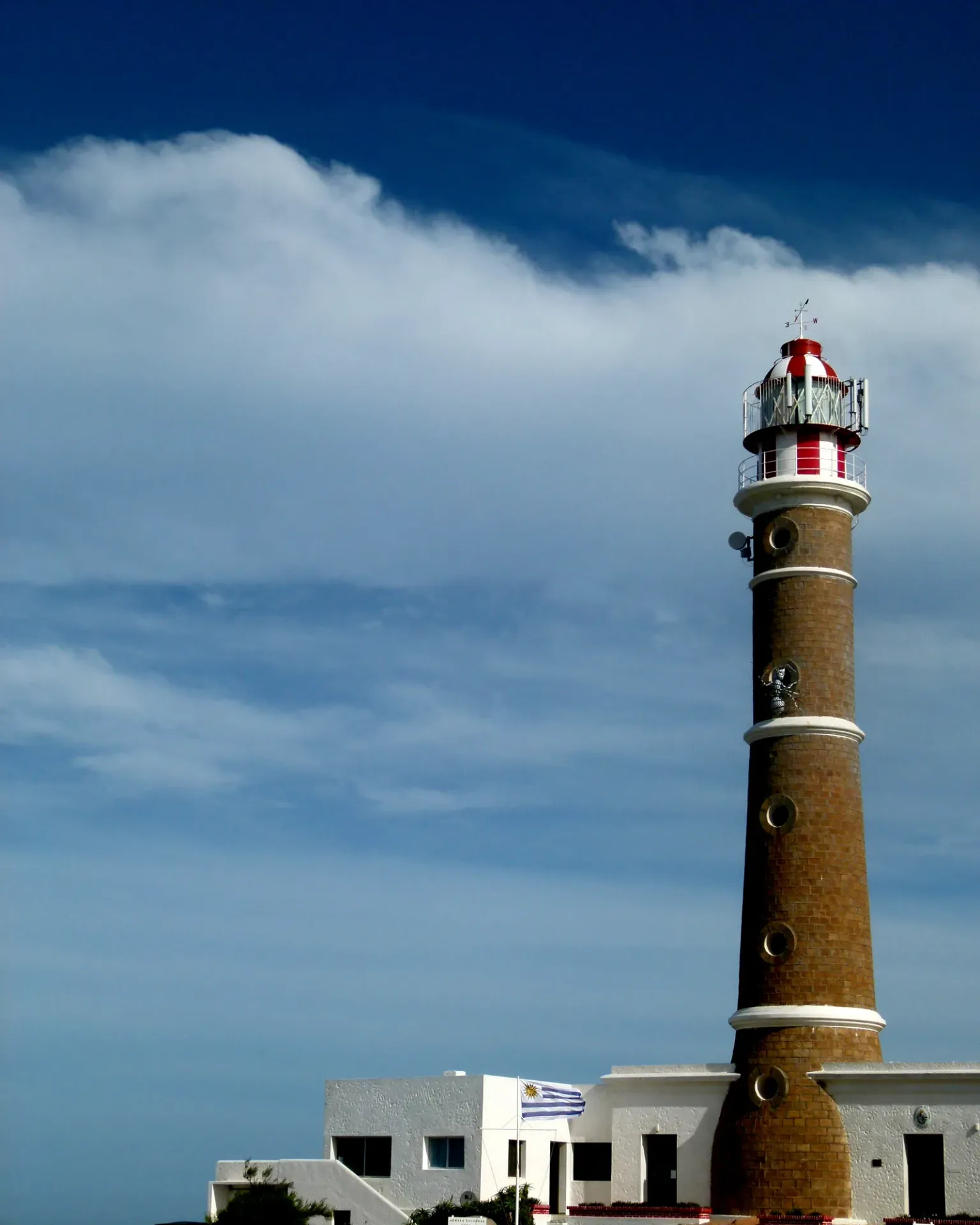
Reaching Cabo Polonio by motorcycle is, for many riders crossing Uruguay, the country's must-see postcard — with one twist that catches first-timers off guard: the bike stays behind.
Since 2009 the cape has been part of Uruguay's National System of Protected Areas, and no private vehicle is allowed into the village. At kilometer 264.5 of Route 10, at the Puerta del Polonio, you park the bike and cross the final 7 km of dunes in an authorized 4x4 truck (or on foot, if you prefer the effort).
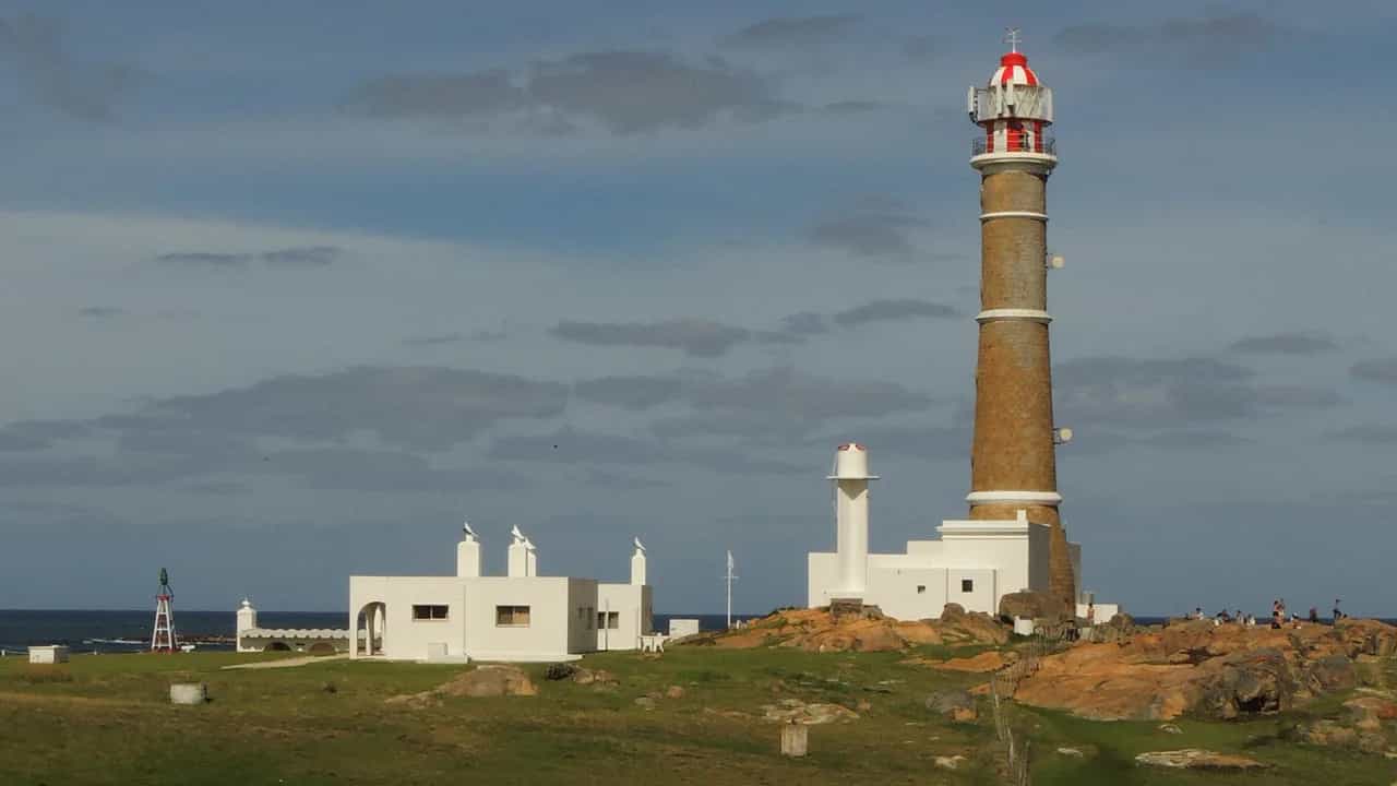
What waits on the other side is a village with no street grid at all, watched over by the still-active Cabo Polonio Lighthouse on a rocky point that hosts one of the country's most important sea lion colonies.
The stretch you do ride, along Route 10 from La Paloma or La Pedrera through pine forest and dunes, already sets the tone — the landscape starts shifting kilometers before the sand swallows the pavement.
WARNINGS FOR THIS ROUTE
This is what you need to sort out before riding this route.
- 01Fuel range
Good as far as the Puerta del Polonio (Rocha, Castillos, La Paloma). No fuel inside the reserve or at the cape itself.
- 02Your bike can't enter the cape
No private vehicle — motorcycles included — can pass the Puerta del Polonio since the area became protected in 2009. Plan to leave it parked and pay for the 4x4 or walk in; showing up expecting to ride to the lighthouse is the most common first-timer mistake.
Ruta Interbalnearia:Montevideo to Punta del Este
Canelones and Maldonado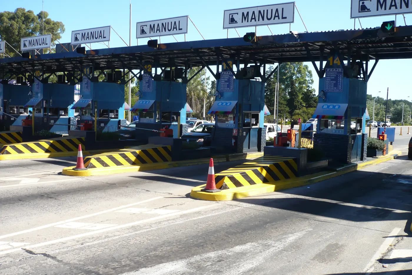
The Ruta Interbalnearia by motorcycle is the founding highway of Uruguayan tourism: the law authorizing its construction dates to 1952, and it has connected Montevideo with the Costa de Oro and Punta del Este ever since, without a single kilometer of gravel.
The last single-lane bottleneck, between Route 101 and the Arroyo Pando, was only completed in October 2009 — today it's dual carriageway almost end to end, the most modern road in Uruguay.
The route passes El Pinar, La Floresta, Parque del Plata and Piriápolis before reaching the Punta del Este peninsula, capped by Mario Irarrázabal's giant hand sculpture. It's the most heavily ridden motorcycle route in the country, and also the best paved.
The price of that comfort is traffic: in under 15 km there's more than one crossing per kilometer, so it's not a route to ride distracted even though it's 100% pavement.
WARNINGS FOR THIS ROUTE
This is what you need to sort out before riding this route.
- 01Fuel range
Excellent. Stations every few kilometers all along the Costa de Oro and Maldonado.
- 02Roundabouts and crossings with a crash record
Neighbors and road authorities flag the access crossing to the El Pinar racetrack as especially risky because of its split-roundabout design, and the stretch near Parque del Plata added speed cameras after fluidity problems and rear-end collisions were detected. Respect the variable speed limits along the whole Costa de Oro.
Route 9 to Punta del Diablo and Santa Teresa Park
Rocha
Riding to Punta del Diablo by motorcycle means reaching one of the last genuine fishing villages left on the Atlantic coast: in 2011 it had just 823 permanent residents, a number that swells to 25,000 in January.
Heading north on Route 9, at kilometer 302 the Fortaleza de Santa Teresa appears, built by the Portuguese starting in December 1762, inside an 8,000-hectare national park that's part of UNESCO's Bañados del Este Biosphere Reserve.
The final stretch toward Chuy, on the Brazilian border, is where this piece of Route 9 gets serious: wildlife crosses the road often, and that's not a minor detail for anyone riding a motorcycle.
It's the route that closes out Uruguay's eastern circuit before crossing into Brazil — wild beaches, a colonial fort, and the feeling of being right at the country's edge.
WARNINGS FOR THIS ROUTE
This is what you need to sort out before riding this route.
- 01Fuel range
Good. Stations in Rocha, Castillos and Chuy; none inside Santa Teresa National Park.
- 02Capybaras crossing at night
A fatal crash was recorded on this stretch of Route 9 after a vehicle swerved to avoid a capybara and collided head-on with a truck. UNASEV recommends slowing down and paying extra attention at dusk, when wildlife becomes active near the road.
La Quebrada de los Cuervos
Treinta y Tres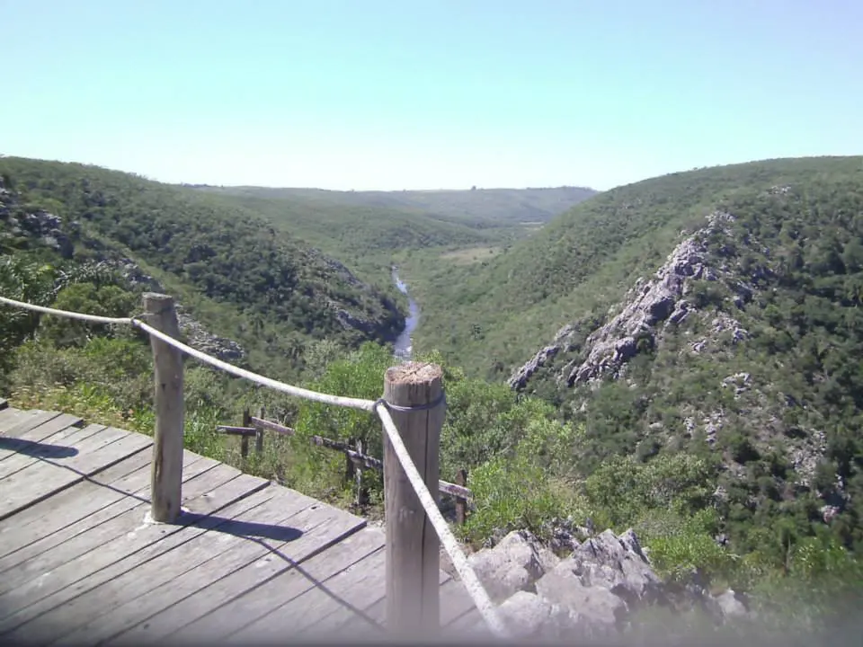
Finding a canyon over 100 meters deep in one of South America's flattest countries is, on its own, the reason the Quebrada de los Cuervos by motorcycle catches every first-time visitor off guard.
The Yerbal Chico stream carved this gorge as it cuts through the Sierras del Yerbal, with metamorphic rock walls reaching 300 meters above sea level. It's an isolated subtropical microclimate, protected since 2008 within the National System of Protected Areas, home to plant and animal species found nowhere else in Uruguayan territory.
The name comes from the "cuervos" (crows) — actually turkey vultures (Cathartes aura ruficollis) — that circle the canyon riding its thermal currents.
Getting there means leaving any main road behind: 45 km from Treinta y Tres via Route 8, then 24 km of gravel heading west, an access any bike can handle carefully — except right after heavy rain, when the road turns hostile.
WARNINGS FOR THIS ROUTE
This is what you need to sort out before riding this route.
- 01Fuel range
Only in the city of Treinta y Tres, 45 km before the turnoff. Nothing on the access road or at the canyon.
- 02The gravel turns hostile in the rain
Any vehicle can normally handle the access road, but after heavy rain the gravel turns slippery and difficult — check the forecast before heading out and avoid the stretch if it rained in the previous days.
Cerro Arequita and the Sierra de las Ánimas
Lavalleja and Maldonado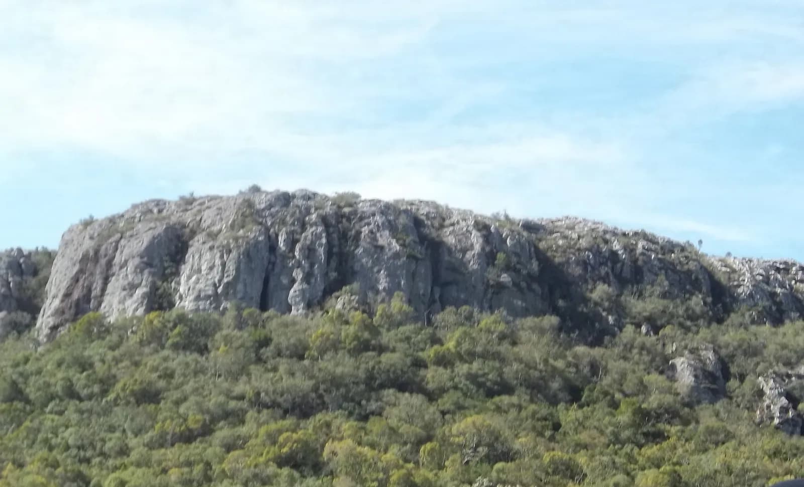
Riding up to Cerro Arequita by motorcycle — or at least to its base, since the summit itself is reached on foot — means entering the only volcanic-origin range in all of Uruguayan territory.
The Sierra de las Ánimas, stretching between the departments of Lavalleja and Maldonado, has its high point at Cerro de las Ánimas: 501 meters that were considered Uruguay's highest point until 1973, when a new survey by the Military Geographic Service crowned nearby Cerro Catedral (513 m) as the country's true summit.
Cerro Arequita, 12 km north of Minas, is more accessible and just as photogenic as its neighbor: a volcanic rock face over 300 meters tall, capping a native forest laced with trails.
Route 8 up to Minas is also one of the few roads in Uruguay with real curves — the rest of the country is so flat that this stretch of hills feels almost out of place.
WARNINGS FOR THIS ROUTE
This is what you need to sort out before riding this route.
- 01Fuel range
Good. Full-service stations in Minas; nothing beyond, on the way to the hill.
Route 21:Colonia del Sacramento to Carmelo
Colonia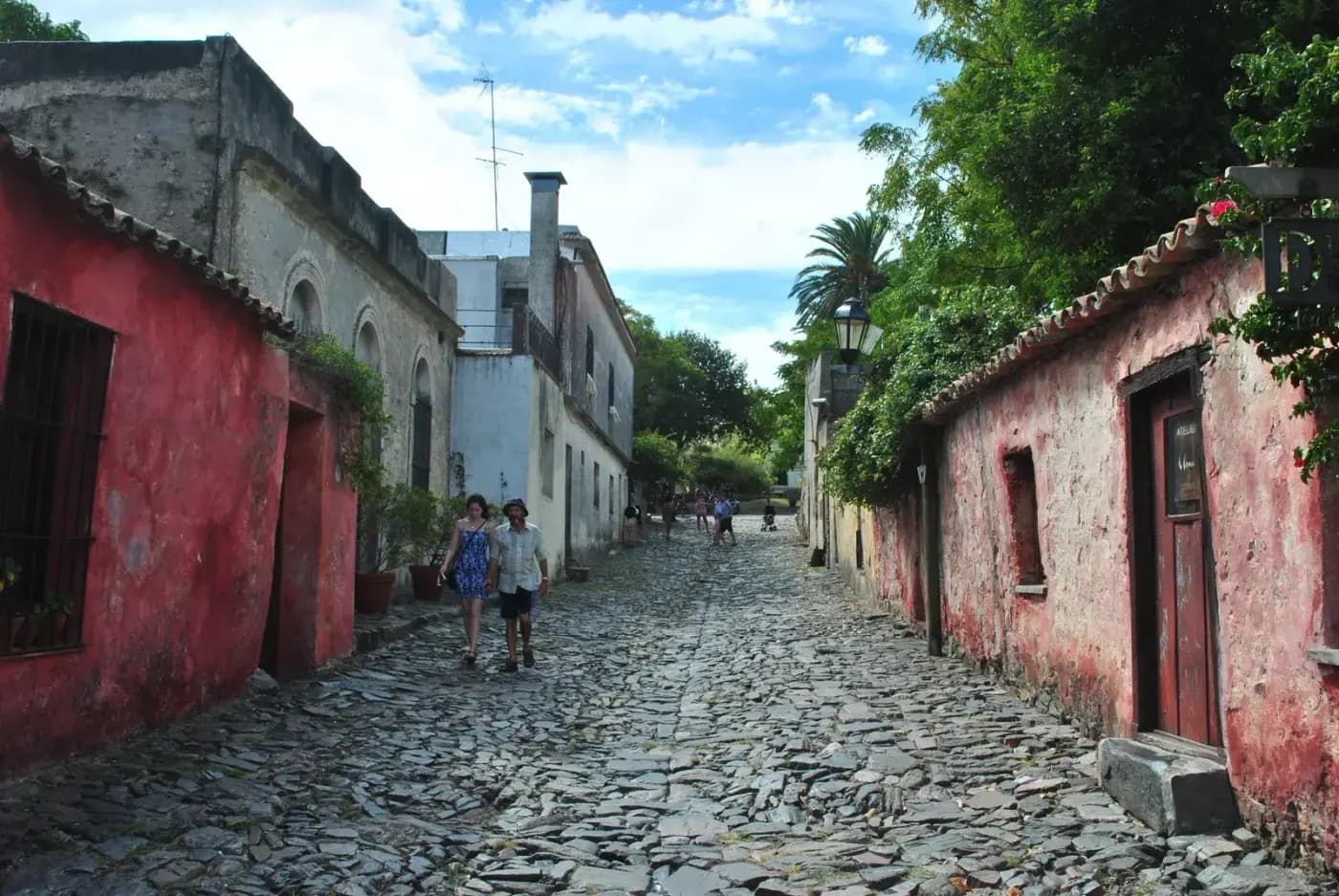
Leaving Colonia del Sacramento by motorcycle for Carmelo along Route 21 closes out a colonial chapter that begins in the Historic Quarter, a UNESCO World Heritage Site since 1995, with its stone streets — the Calle de los Suspiros is the most photographed — built by the Portuguese in the 17th century.
Halfway there, a turnoff leads to the Calera de las Huérfanas, the ruins of an old Jesuit-Portuguese lime kiln that once produced building material for the region.
Carmelo, founded in 1816 by José Gervasio Artigas himself, closes out the ride with its boutique wineries and a riverside promenade on the Río de la Plata where the sunset becomes the real destination of the day.
It's the "easiest" route in the Top 10 — one hundred percent pavement, no technical stretches — and precisely for that reason, the ideal pick for the first or last day of any trip through Uruguay.
WARNINGS FOR THIS ROUTE
This is what you need to sort out before riding this route.
- 01Fuel range
Excellent. Stations at both ends and in Nueva Palmira.
Corredor de los Pájaros Pintados:Paysandú to Termas del Daymán
Paysandú and Salto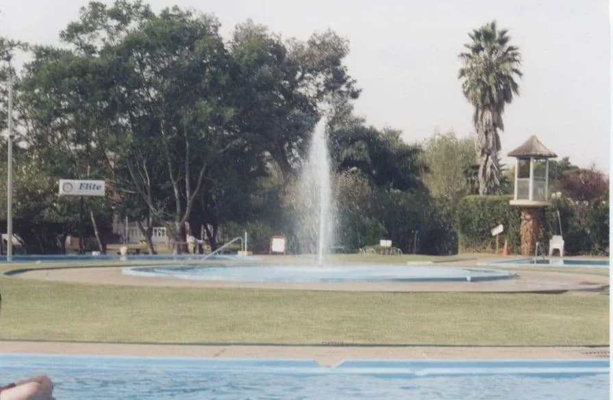
Riding the Corredor de los Pájaros Pintados by motorcycle means following the Uruguay River's coastline on Route 3, over the Guaraní Aquifer System, one of the planet's largest underground water reserves, which surfaces here as hot springs.
The circuit links the Guaviyú, Almirón, Daymán and Arapey complexes, each with pools at different temperatures — Daymán's reach 44°C. The original Daymán well was actually discovered in 1957 while drilling for oil, not hot water: it was an ANCAP borehole sunk during oil exploration of the Daymán river basin, and in 1960 it passed to the Salto municipal government, which turned it into a tourist center through the 1970s.
It's also a stretch with real natural history: the "painted birds" that give the corridor its name refer to the wide variety of birds along this stretch of coastline, which is where the region's official tourism corridor takes its name from.
Unlike the rest of the Top 10, this is a winter route: while the Atlantic coast empties out, the thermal litoral fills up.
WARNINGS FOR THIS ROUTE
This is what you need to sort out before riding this route.
- 01Fuel range
Good in Paysandú and Salto; stations are more spread out in between, don't skip Guichón.
Valle Edén:the gaucho heart of Tacuarembó
Tacuarembó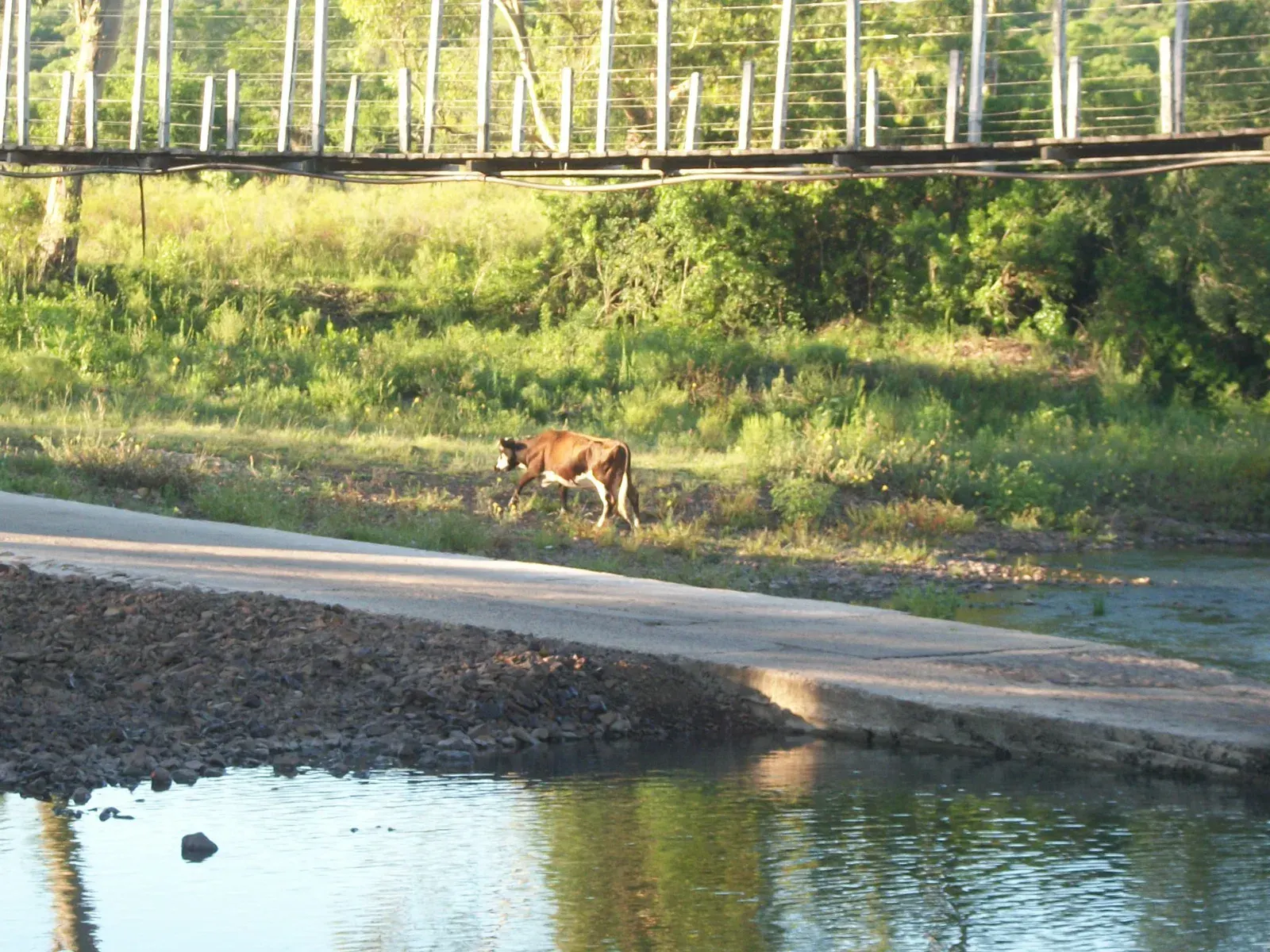
Riding into Valle Edén by motorcycle means entering Uruguay's deepest interior, where the Arroyo Jabonería cut a valley through subtropical native forest that shelters ferns up to 300 years old — a species that, in South America, only repeats in the Amazon rainforest.
Since 1928, several bridges have been built at the same point on the stream, and all of them were swept away by floods — the current suspension bridge, built by the Tacuarembó Intendancy, dates to 1996 and is today the valley's most photographed sight.
A few meters away, the Carlos Gardel Museum claims the legend that the tango singer was born right there, deep in Tacuarembó countryside — a debate that's still open but still draws visitors from across the country.
The old AFE train station, its water tank for steam locomotives still standing, rounds out a landscape that feels more gaucho than anywhere else in the Top 10.
WARNINGS FOR THIS ROUTE
This is what you need to sort out before riding this route.
- 01Fuel range
Good in Tacuarembó; nothing in Valle Edén itself, a rural hamlet with no gas station.
Route 3 to the Grutas del Palacio
Flores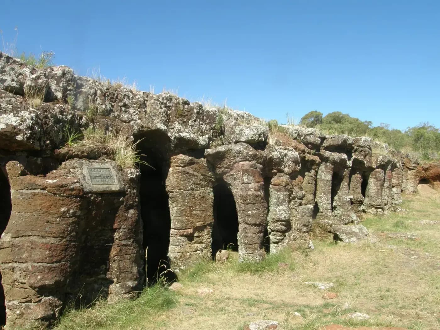
Riding out to the Grutas del Palacio by motorcycle means reaching a sandstone formation nearly 70 million years old, carved by erosion during the Late Cretaceous, right in the middle of a country with no mountains.
The caves were first studied in the early 20th century, when geologist Karl Walter documented their formation between 1909 and 1938 while heading the Geology department at the Faculty of Agronomy, and in 2013 the site became Uruguay's first Geopark and the second in all of South America to earn UNESCO recognition — a designation covering geological, paleontological and archaeological value, with rock art documented among the formations.
The access road, 6 km of dirt heading west from kilometer 236 of the old Route 3, cuts through the Trinidad area, capital of Flores department — a stretch where grain trucks are the main traffic.
It's the most "geological" route in the Top 10: caves, caverns and rock formations in a country that, in most people's imagination, has none of the three.
WARNINGS FOR THIS ROUTE
This is what you need to sort out before riding this route.
- 01Fuel range
Good in Trinidad; nothing on the turnoff to the Grutas.
- 02Grain trucks near Trinidad
Route 3 is a heavy-freight corridor toward the Argentine border, with steady grain-truck traffic during harvest season. Keep your distance and slow down when passing them, especially on the curves near Trinidad where visibility is shorter.
Route 9 to Pueblo Garzón:the wine route
Maldonado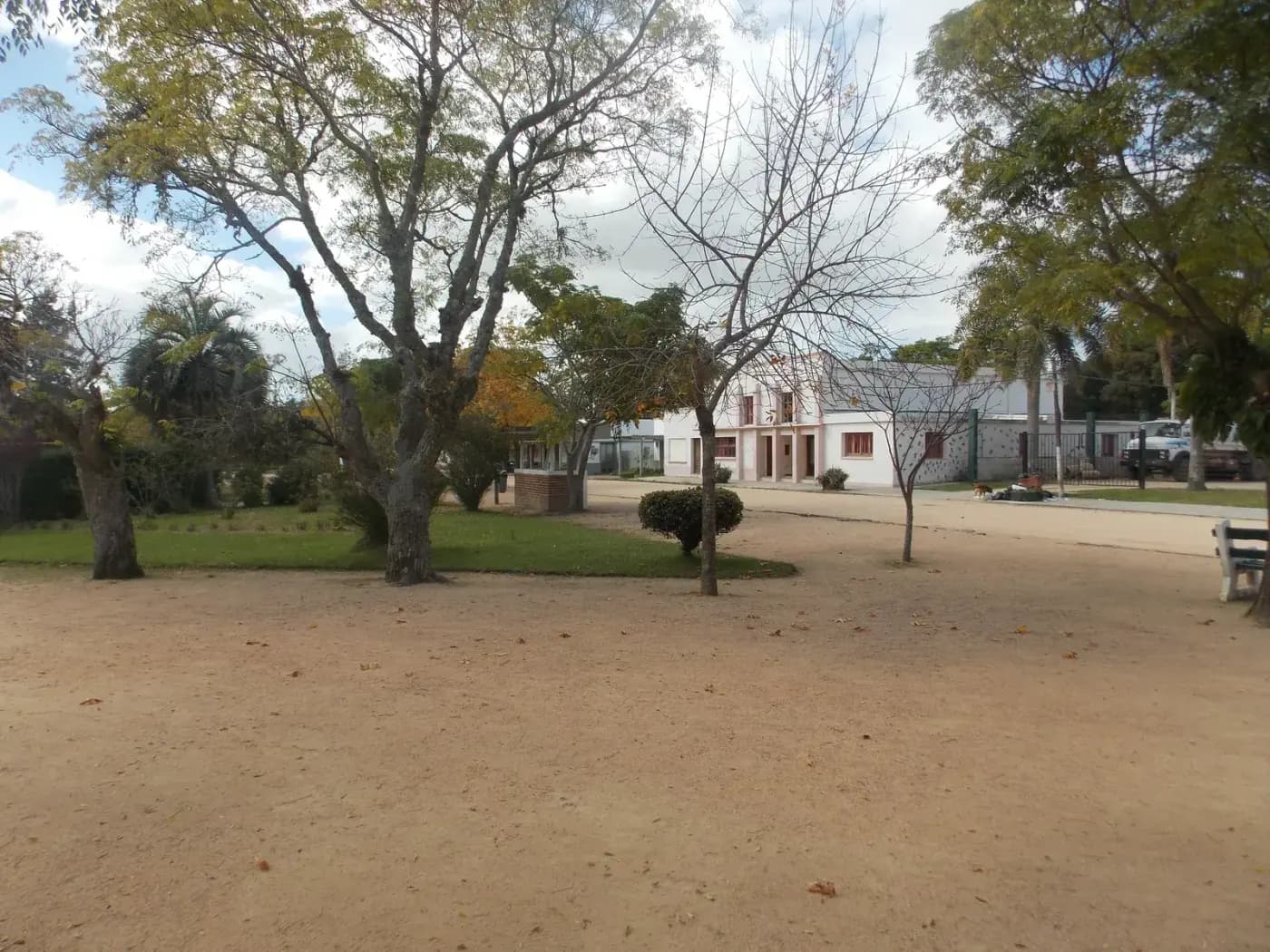
Taking the detour to Pueblo Garzón by motorcycle, at kilometer 175 of Route 9, means finding a hamlet whose first settlers arrived around 1890 along the Arroyo Campamento, today the heart of Uruguay's wine route.
Bodega Garzón dominates the landscape with a building over 19,000 m² and a 2.2-million-liter capacity — the first sustainable winery outside North America to earn LEED certification, known for its single-vineyard Tannat and Albariño.
The village itself keeps the slow rhythm of a country hamlet: a plaza with century-old trees, a handful of low houses, and none of the crowds that reach the nearby coast.
Close by, Laguna Garzón and its circular bridge — the only one of its kind in the world — round out the day with a short loop worth taking before heading back to the main road.
WARNINGS FOR THIS ROUTE
This is what you need to sort out before riding this route.
- 01Fuel range
Good in San Carlos and Pan de Azúcar; in Pueblo Garzón, a small hamlet, don't assume you'll find an open station.
NEIGHBORING COUNTRIES
Crossing the border next? Click a country to see its 10 best motorcycle routes.

FREQUENTLY ASKED QUESTIONS
01Do I need Green Card (Carta Verde) insurance to enter Uruguay by motorcycle?
+
Do I need Green Card (Carta Verde) insurance to enter Uruguay by motorcycle?
It depends on where your bike is plated. If it's from a Mercosur country (Argentina, Brazil, Paraguay), yes: the Mercosur Green Card civil liability certificate is the required cover, usually issued by your home insurer before you cross — no formal customs paperwork is needed, just selective border checks. If your bike is plated outside Mercosur, the Green Card doesn't apply: you need valid civil liability insurance, from your home country or bought in Uruguay, as part of the Temporary Admission paperwork.
02How long can I stay in Uruguay with a non-Mercosur plated motorcycle?
+
How long can I stay in Uruguay with a non-Mercosur plated motorcycle?
Up to one year from the entry date, through the free Temporary Admission (AT) process handled by Uruguay's National Customs Directorate. After that period a USD 20 daily fine applies for up to a month, and then a customs infraction case opens.
03Which crossing is best from Argentina into Uruguay by motorcycle?
+
Which crossing is best from Argentina into Uruguay by motorcycle?
The Gral. San Martín (Gualeguaychú-Fray Bentos) and Gral. Artigas (Colón-Paysandú) international bridges are the crossings motorcycle travelers use most: paved approach roads, an orderly process, and none of the friction remote posts create in other countries in the region. Fray Bentos runs 24 hours.
04Is gasoline expensive in Uruguay for motorcycle travel?
+
Is gasoline expensive in Uruguay for motorcycle travel?
Yes, it's the most expensive in all of Latin America — well above Argentina, Brazil and Chile. Availability isn't the issue (stations are everywhere), but budget more for fuel here than elsewhere in the region, and top up before crossing the border if you can.
05Is Uruguay safe for motorcycle travel?
+
Is Uruguay safe for motorcycle travel?
It's South America's safest country per the 2026 Global Peace Index, ahead of Chile and Argentina. Precautions are localized: avoid Montevideo's peripheral belt at night (Casavalle, Marconi, northern Cerro, Malvín Norte) and park the bike somewhere gated or watched in the capital.
06What's the best time to ride Uruguay's coast by motorcycle?
+
What's the best time to ride Uruguay's coast by motorcycle?
December to March (southern summer) has the best weather for the coast, but also the highest prices and most traffic in the beach towns. Spring (October-November) and fall (March-April) offer equally pleasant weather, far fewer tourists, and better lodging prices.
Gustavo Correa
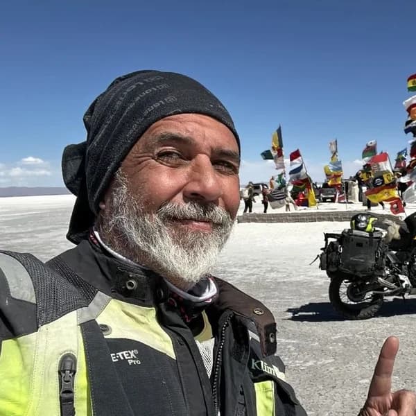
Moto traveler, author and motorcycle travel consultant. 110,000+ km across 4 continents with Gloria, my motorcycle. Everything you read here has been tested on the road, not in an office.
Read my story →Last verified: 2026-08-29
Sources consulted (19)+
- aduanas.gub.uy
- gub.uy
- vuce.gub.uy
- curug.cancilleria.gob.ar
- bse.com.uy
- mininterior.gob.ar
- argentina.gob.ar
- cslto.cancilleria.gob.ar
- elobservador.com.uy
- ambito.com
- elobservador.com.uy
- en.wikipedia.org
- uruguayxxi.gub.uy
- statista.com
- latamtravellers.com
- horizonsunlimited.com
- expomotonews.com
- packlightly.es
- commons.wikimedia.org
A GIFT FOR BEING HERETHE ADVENTURE OF LIVING FREE
Do fear or doubt paralyze you before starting any project? You're not alone — every one of us has been there.
As a thank-you for visiting my site, I'm giving you my book "The Adventure of Living Free". A manual built to bring some light through the shadows and show you the philosophy that has let me ride the world for years.
* PDF STRAIGHT TO YOUR INBOX. NO SPAM.