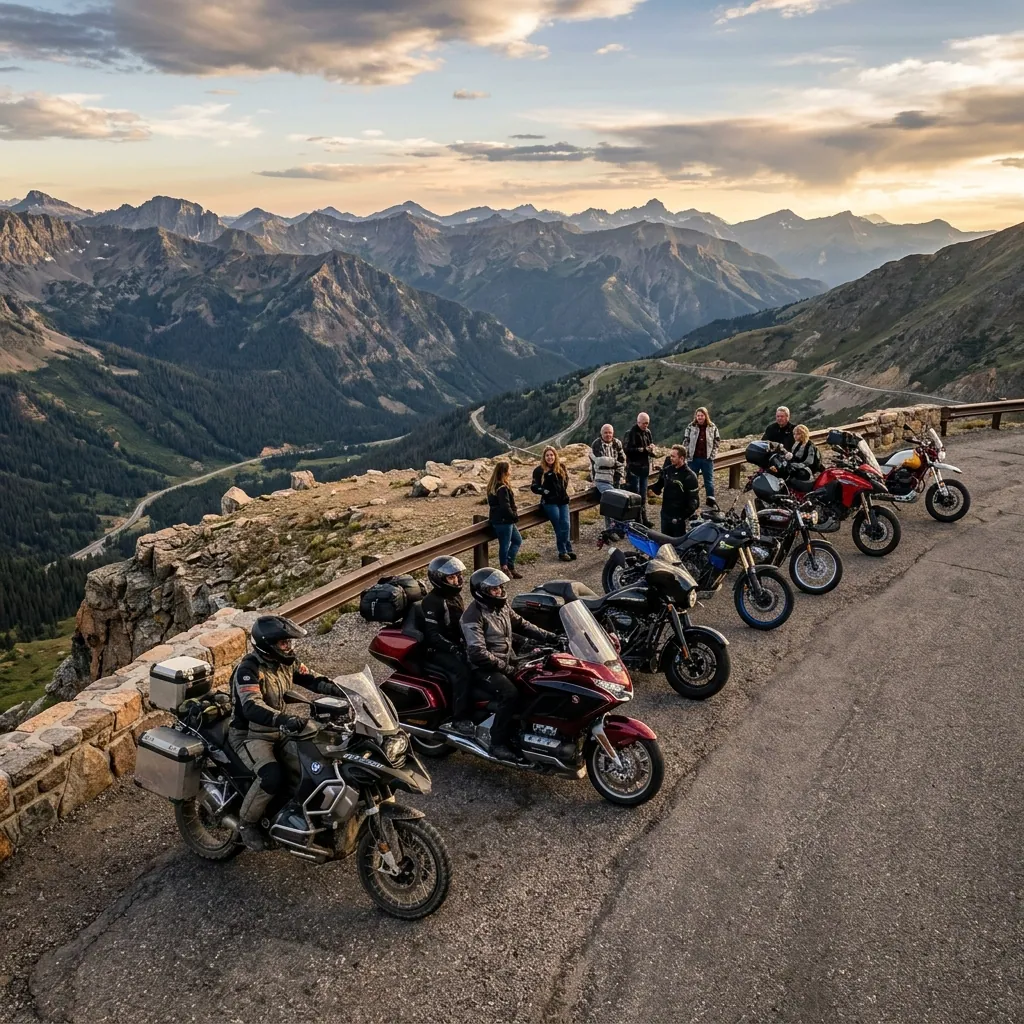
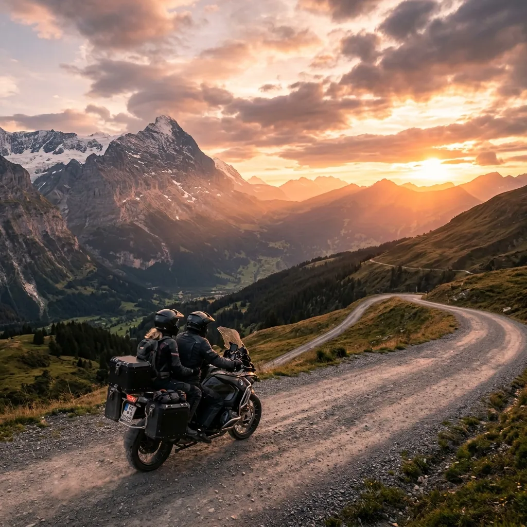
"A network of unpaved tracks crossing 36 countries, with free GPX files, maintained by volunteers. And the fact almost nobody knows: Spain has the second longest section."
✅ QUICK ANSWER
What is the Trans Euro Trail and how much does it cost to ride?
The Trans Euro Trail (TET) is a network of roughly 100,000 km of legal unpaved tracks across 36 European countries, designed for adventure motorcycles. The routes are downloaded as GPX files from transeurotrail.org completely free: no sign-up, no permits, no fee. It is maintained by volunteers called linesmen, one per country.
TABLE OF CONTENTS
The Trans Euro Trail is Europe’s answer to an awkward question: can you cross an entire continent on unpaved tracks, legally, without paying anyone? The answer is yes, and it has been working since 2017. Before you look at the map, get your motorcycle travel logistics sorted, because the TET does not forgive improvisation: on many sections there is no fuel, no signal and nobody to ask.
1. What the Trans Euro Trail Is
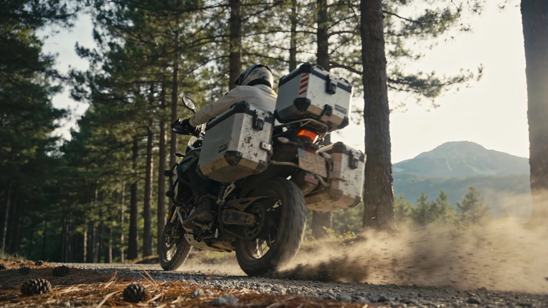
The TET is not a race, an event or an organised tour. It is a collection of GPX files tracing unpaved routes across Europe: dirt roads, gravel, forest tracks, cart tracks and rocky sections. It was founded by John Ross and has been available since 2017. Its declared inspiration is the American Trans America Trail.
Everything hinges on one word: legal. Every section in the track is permitted under the local law of the country it crosses. That rules out the fantasy of free enduro across open country, and it is why the TET still exists when other crowd-built routes have quietly closed down.
2. How Long It Is and Where It Goes
Roughly 100,000 kilometres spread across 36 countries. The number is intimidating until you understand how it is used: nobody rides the whole TET. You pick a country, or a two-week section, and link the rest with tarmac.
The route has two arms. The western one runs down through Sweden, Norway, Denmark, Germany, Switzerland, the Low Countries, the UK, France, Andorra, Spain and Portugal. The eastern one covers Finland, the Baltic states, Poland, Ukraine, Romania, Serbia, Bulgaria, Greece, the Balkans and Italy.
The ten longest national sections, according to the public per-country mileage table consulted on 17 September 2026: Finland 7,690 km, Spain 7,509 km, France 5,954 km, United Kingdom 5,307 km, Georgia 4,698 km, Greece 4,079 km, Italy 3,532 km, Turkey 3,200 km, Estonia 3,063 km and Sweden 2,841 km. Six more countries are listed as unconfirmed, among them Portugal and Austria: if they matter to your plan, check that country’s file before counting on them.
3. Spain: Europe’s Second Longest TET Section
Here is the fact almost nobody has in mind: with 7,509 km, Spain is the second longest TET section on the continent, less than 200 km behind Finland. If you live in Western Europe, the second longest section is a day from home, with no ferry, no customs and no currency change.
It is by far the best place to start: a long weekend on the Spanish section teaches you more about your bike, your luggage and your own head than three months of reading forums. If you then want to cross into France, there is the guide to riding a motorcycle through Spain and the Transpyrenean route with GPX track to link both countries through the mountains.
4. How to Get the Tracks (and Why They Are Free)
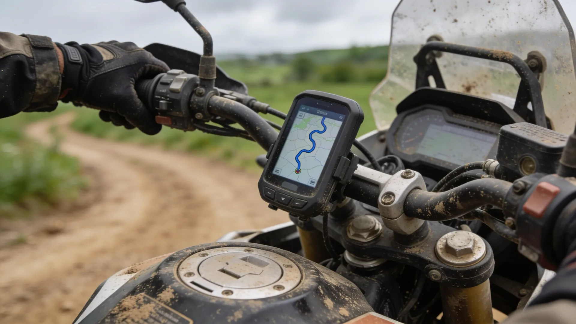
The files are downloaded from the official site, transeurotrail.org, one per country. There is no sign-up, no permit and no fee: the organisation publishing the TET is a non-profit Community Interest Company, and both the route and the logo are trademarked so nobody can hijack them and start charging.
A GPX file is not a map: it is a line. You need an app or a GPS that can load it, plus offline maps of the country, because signal disappears on the trail. Which apps actually work and which fall short is covered in the comparison of motorcycle route apps. Download the file shortly before you leave: it gets updated whenever a track changes status.
5. The Linesmen: Who Holds This Together
Behind every file there is a person. The linesmen are volunteers who keep their country’s track current, helped by everyone who rides it and by the communities it passes through. They ride the tracks they publish and correct them when a gate closes or a new detour opens.
That has a practical consequence: if you find a track closed, reporting it is not a favour, it is the only way the file keeps working. The TET is held together by people who are not paid to do it.
6. What Bike You Actually Need
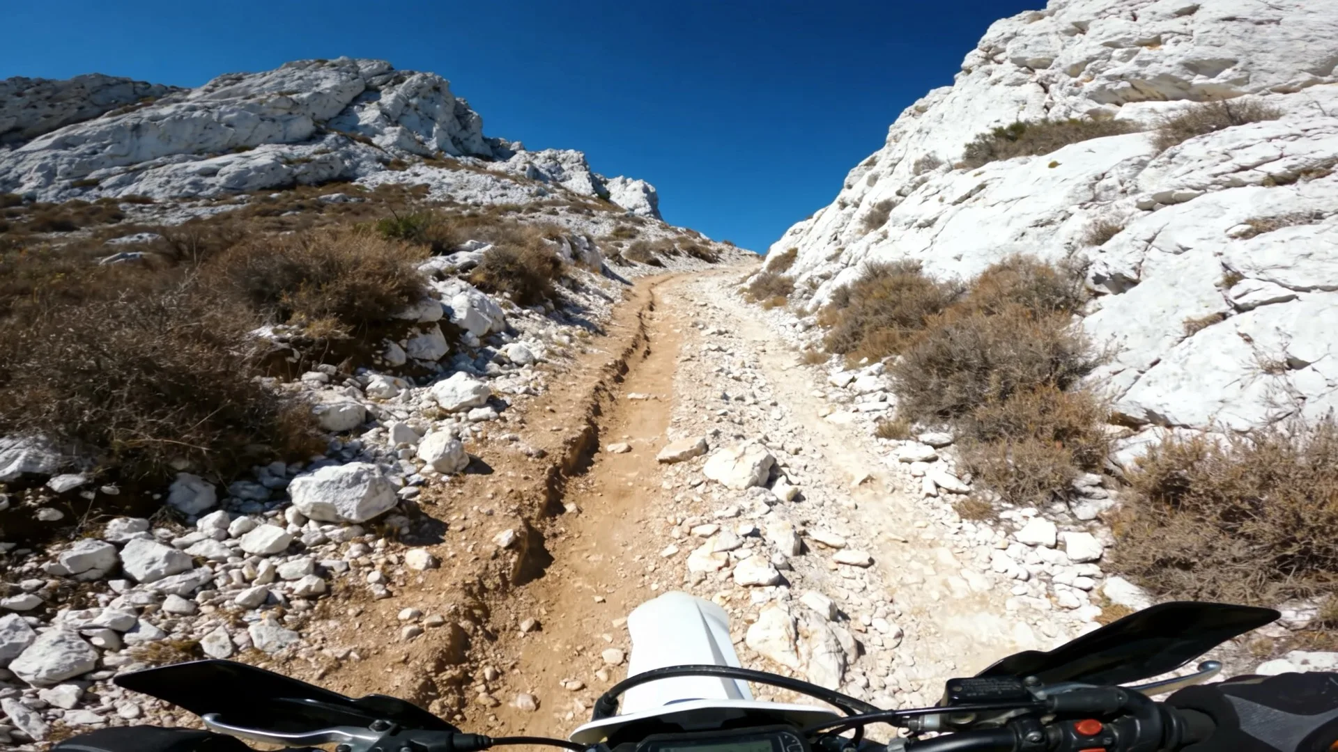
The question is badly framed. It is not which bike survives the TET, it is which bike you can pick up on your own, loaded, on a slope, in mud. That is the real test, and it rules out quite a few machines that look perfect on paper.
A big adventure bike can do it, but it shapes your route: there are technical sections you will skip and mud holes you will not want to enter. A middleweight or small bike reaches more places and tires you less, at the cost of feeling stretched on motorway link sections. The full analysis, without marketing, is in the guide to the best motorcycles for travelling, and what to actually carry is in gear for long motorcycle trips.
Tyres matter more in this decision than engine size. An honest set of mixed tyres changes the TET completely; road tyres turn an easy track into a problem.
7. Daily Distance and When to Go
On unpaved tracks your hourly average drops to less than half of what it is on tarmac. Planning stages with road logic is the mistake that ruins the first week: you arrive in the dark, exhausted, looking for somewhere to sleep. Count on shorter days than you would like and leave room for the unexpected, which on a trail always turns up.
The window depends on the section, not on the calendar: the Scandinavian north and the mountain passes hold snow for much of the year, and the south in high summer punishes you with heat and dust. Spring and early autumn tend to be the middle ground on Mediterranean sections. Always check the state of your specific section before leaving.
8. The Code of Conduct Is Not Decoration
The TET has a code of conduct translated into every European language, built on three kinds of respect: for the trails, for the communities you ride through, and for the environment.
It reads like boilerplate until you understand the mechanism: the TET only exists while the tracks stay open, and tracks close when a local resident has had enough. Riding through a village at walking pace instead of accelerating is not politeness, it is route maintenance for whoever comes next.
9. Mistakes When Planning the TET
Treating it as an end-to-end route. It is not: it is a network. Picking one section and riding it properly beats crossing four countries in passing.
Downloading the track months ahead and never checking it again. Files get corrected; the one you are carrying may contain a track that is now closed.
Riding alone without knowing how to lift your loaded bike. That is the difference between an anecdote and a whole afternoon waiting for someone to pass.
And the most expensive one: forcing your way past a fence or a sign. What you gain in five minutes is lost for everyone when that section disappears from next year’s file.
The mileage and organisation data in this guide come from the public Trans Euro Trail record consulted on 17 September 2026, and the official files are downloaded at transeurotrail.org.
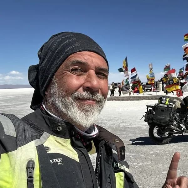
Gustavo Correa
Moto traveler, author and motorcycle travel consultant. 110,000+ km across 4 continents with Gloria, my motorcycle. Everything you read here has been tested on the road, not in an office.
Read my story →FAQ — FREQUENTLY ASKED QUESTIONS
Is the Trans Euro Trail free?
Yes. The GPX tracks are downloaded at no cost from transeurotrail.org. There is no sign-up, no permit and no membership fee. The organisation publishing it is a non-profit Community Interest Company.
Do I need a permit to ride the TET?
No. The route is made up only of tracks where riding is allowed under each country’s local law. That is exactly why the linesmen exist: when a track closes, they take it out of the file.
How many kilometres does the TET have in total?
Around 100,000 km of unpaved tracks across 36 countries. Nobody rides all of it in one go: you pick a country or a section.
Which country has the most TET kilometres?
Finland, with 7,690 km, followed by Spain with 7,509 km and France with 5,954 km, according to the public per-country mileage table consulted in September 2026.
Can I ride the TET on a big adventure bike?
You can, but it shapes your route. A 200 kg+ adventure bike forces you to skip the technical sections and think twice about every mud hole. If you ride alone, the weight you can pick up yourself matters more than horsepower.
What if a track leads onto private land?
A track can change status between two updates. If you find a fence or a no-entry sign, turn around and report it to that country’s linesman. Forcing your way through is what gets trails closed for everyone.